Difference between revisions of "2014-06-02 51 9"
From Geohashing
imported>GeorgDerReisende m (typo) |
imported>FippeBot m (Location) |
||
| (One intermediate revision by one other user not shown) | |||
| Line 49: | Line 49: | ||
{{Hash collision | latitude = 51 | longitude = 9 | date = 2014-06-02 | name = GeorgDerReisende | link = http://coord.info/GCWH77 | id = GCWH77 | distance = 0.73 km | honor = yes }} | {{Hash collision | latitude = 51 | longitude = 9 | date = 2014-06-02 | name = GeorgDerReisende | link = http://coord.info/GCWH77 | id = GCWH77 | distance = 0.73 km | honor = yes }} | ||
| − | {{ | + | |
| − | Hashcard | latitude = 51 | longitude = 9 | date = 2014-06-02 | recipient = [[User:Isopekka|Isopekka]] | name = GeorgDerReisende | }} | + | {{Hashcard | latitude = 51 | longitude = 9 | date = 2014-06-02 | recipient = [[User:Isopekka|Isopekka]] | name = GeorgDerReisende | }} |
| + | |||
| + | {{Last man standing | latitude = 51 | longitude = 9 | date = 2014-06-02 | name = GeorgDerReisende }} | ||
[[Category:Expeditions]] | [[Category:Expeditions]] | ||
| Line 57: | Line 59: | ||
[[Category:Coordinates reached]] | [[Category:Coordinates reached]] | ||
| + | {{location|DE|NI|NOM}} | ||
Latest revision as of 10:42, 6 August 2019
| Mon 2 Jun 2014 in 51,9: 51.6484178, 9.4494528 geohashing.info google osm bing/os kml crox |
Location
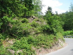
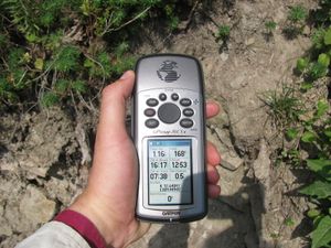
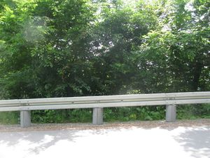
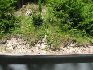
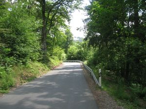
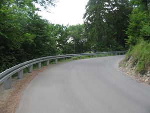
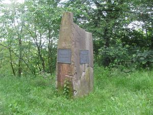
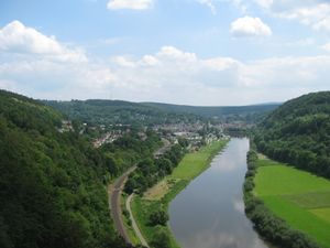
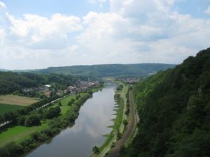
The hash lay beside the street at the northern edge of the valley of the river Weser at Bad Karlshafen.
Participants
Plans
I wanted to hitchhike.
Expedition
Achievements
GeorgDerReisende earned the Thumbs Up Geohash Achievement
|
GeorgDerReisende earned the Hash collision honorable mention
|
GeorgDerReisende earned the Hashcard achievement
|
GeorgDerReisende earned the Last man standing achievement
|
