Difference between revisions of "2012-06-03 43 -76"
imported>HicSuntLaganum |
imported>FippeBot m (Location) |
||
| Line 34: | Line 34: | ||
[[Category:Expeditions with photos]] | [[Category:Expeditions with photos]] | ||
[[Category:Coordinates reached]] | [[Category:Coordinates reached]] | ||
| + | {{location|US|NY|CY}} | ||
Latest revision as of 04:53, 6 August 2019
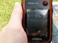
| Sun 3 Jun 2012 in Syracuse: 43.1220486, -76.6763580 geohashing.info google osm bing/os kml crox |
Location
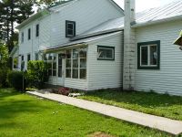
Barn my great uncle owned when I was a kid
Participants
- Red Velvet of Hic Sunt Laganum
Expedition
Hic Sunt Laganum
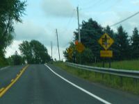
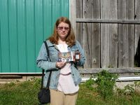
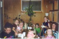
Red Velvet went alone on this trip. Points near the airport in 43, -77 are in the neighborhood I grew up in. Checking the overhead map showed the point near a barn and first thought was "Yay! Not the swamp!" followed by "It looks familiar, but most old barns look alike." Zooming out showed that the barn was indeed one I knew. On the way out, there was a car with a great license plate & a funny spot on the road where multiple driveways are listed on a sign and the one gap on the right side of the sign is actually where a road is (see further sign in photoe). My great uncle had owned the property when I was a kid. My dad is neighbors with the current owner so it was a very easy trip to take pictures at the point. I spent more time at my parents' house beforehand looking through photos for déjà vu proof. Only photo we found was summer of 1994 celebrating my cousin's birthday.
Photos
Red Velvet earned the Land geohash achievement
|
Red Velvet earned the Déjà Vu Geohash Achievement
|

