imported>GeorgDerReisende |
imported>FippeBot |
| (One intermediate revision by one other user not shown) |
| Line 53: |
Line 53: |
| | | | |
| | {{Thumbs Up | latitude = 51 | longitude = 9 | date = 2014-08-13 | name = GeorgDerReisende }} | | {{Thumbs Up | latitude = 51 | longitude = 9 | date = 2014-08-13 | name = GeorgDerReisende }} |
| | + | |
| | + | {{Last man standing | latitude = 51 | longitude = 9 | date = 2014-08-13 | name = GeorgDerReisende }} |
| | | | |
| | [[Category:Expeditions]] | | [[Category:Expeditions]] |
| Line 59: |
Line 61: |
| | | | |
| | [[Category:Coordinates reached]] | | [[Category:Coordinates reached]] |
| | + | {{location|DE|NI|NOM}} |
Latest revision as of 10:42, 6 August 2019
Location
The hash lay in the forest 3 km south of Hardegsen.
Participants
GeorgDerReisende
Plans
Hitchhiking and walking.
Expedition
|
|
|
 |
|
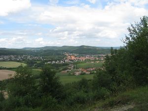
I left home at 10:30 and started to hitchhike at 11:00. After 30 minutes a car stopped and with this car I got a lift direct to Hardegsen, where I arrived at 12:00. And I started for the mountain. After 30 minutes of walk I found a shelter, from where I had a very good view to the city of Hardegsen.
|
 |
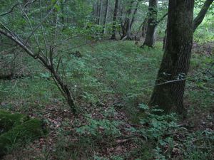 |
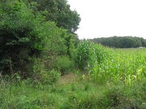
And after another 30 minutes I arrived at the crossway at the southwest edge of my way to the hash. Where I thought to find an old way to the hash. But between the forest and the field there was no way. So I left the ways and stepped into the forest. For the first meters I found several times something like a way. I followed it where I could.
|
 |
|
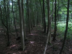
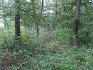
Then I crossed a forest way and only because I wanted to see where it goes, I found a forest way parallel to the field, but in the forest. This way was an old and very muddy way, but it had ditch and a dyke besides it. And on the dyke it was easy to follow the way.
|
 |
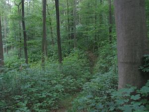 |
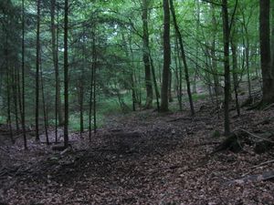
I followed this way for 20 minutes. Then the way disappeared under a great number of young trees. And while I thought about the more way, I found three different ways in the forest, all looking more like a valley than a forest way. And my GPS told me, that the hash was more to the right. So I left the way and started to walk through the pathless forest. Maybe 200 meters later I was stopped by a deep valley, where I walked to the right again uphill. There I found some small forest paths, a tractor path, a path to a hunting seat, another path to an unknown destination and suddenly I was on a normal forest way, near to the hash.
|
 |
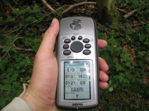 |
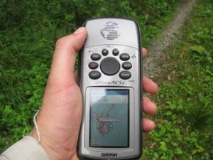
From there the GPS told me to take another path to another hunting seat and from there I found another forest track looking way, leading me to the hash. After a short dance I found it.
|
 |
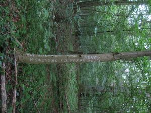 |
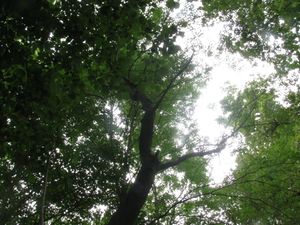
A tree stood on the hash. I wrote the mark on it.
|
 |
 |
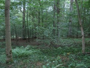
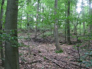
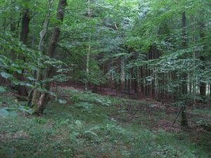
The north and the east.
|
 |
 |
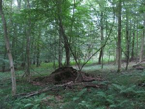
The south and the west.
|
 |
 |
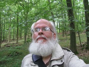
The geohasher and his dance.
|
 |
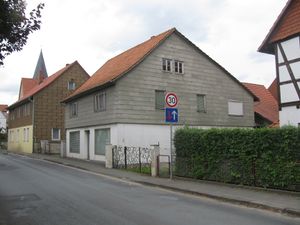 |
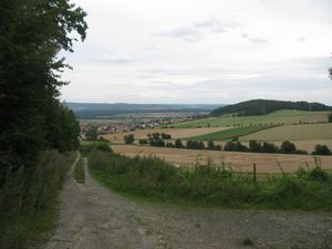
The village Gladebeck from far and from near.
|
For my way home I started to hitchhike at 15:15 and with a car, a walk and another car I arrived at Kassel at 17:15.
Achievements


