Difference between revisions of "2014-08-31 50 10"
From Geohashing
imported>Reinhard (→Expedition) |
imported>FippeBot m (Location) |
||
| (One intermediate revision by one other user not shown) | |||
| Line 13: | Line 13: | ||
== Expedition == | == Expedition == | ||
| − | Too close not to cycle there from Schleusingerneundorf, when roads became dryer on that Sunday afternoon. Initially I planned to take the direct route there (31 km), but as usual I found some interesting, unknown bike paths which distracted me and lead to a 14 km detour. The hashpoint was 40 m from the road on a (electrically?) fenced meadow, but there weren't any animals in sight, so I quickly underpassed the fence and went to the spot. Took the shortest roads back. | + | Too close not to cycle there from Schleusingerneundorf, when roads became dryer on that Sunday afternoon. Initially, I planned to take the direct route there (31 km), but as usual I found some interesting, unknown bike paths which distracted me and lead to a 14 km detour. The hashpoint was 40 m from the road on a (electrically?) fenced meadow, but there weren't any animals in sight, so I quickly underpassed the fence and went to the spot. Took the shortest roads back. |
== Photos == | == Photos == | ||
| Line 26: | Line 26: | ||
[[Category:Expeditions with photos]] | [[Category:Expeditions with photos]] | ||
[[Category:Coordinates reached]] | [[Category:Coordinates reached]] | ||
| + | {{location|DE|TH|HBN}} | ||
Latest revision as of 01:11, 15 August 2019
| Sun 31 Aug 2014 in 50,10: 50.3660226, 10.5881789 geohashing.info google osm bing/os kml crox |
Location
On a meadow near Gleichamberg, Thuringia.
Participants
Expedition
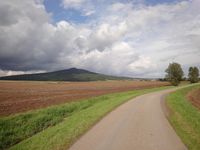
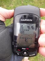
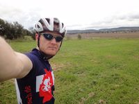
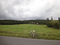
Too close not to cycle there from Schleusingerneundorf, when roads became dryer on that Sunday afternoon. Initially, I planned to take the direct route there (31 km), but as usual I found some interesting, unknown bike paths which distracted me and lead to a 14 km detour. The hashpoint was 40 m from the road on a (electrically?) fenced meadow, but there weren't any animals in sight, so I quickly underpassed the fence and went to the spot. Took the shortest roads back.
Photos
|


