Difference between revisions of "2014-09-19 47 16"
imported>B2c ([live] Woot!) |
imported>FippeBot m (Location) |
||
| (4 intermediate revisions by 2 users not shown) | |||
| Line 1: | Line 1: | ||
| − | |||
| − | |||
| − | |||
| − | |||
| − | |||
| − | |||
| − | |||
| − | |||
| − | |||
| − | |||
{{meetup graticule | {{meetup graticule | ||
| lat=47 | | lat=47 | ||
| Line 15: | Line 5: | ||
}} | }} | ||
| − | |||
__NOTOC__ | __NOTOC__ | ||
== Location == | == Location == | ||
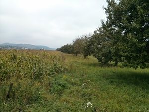
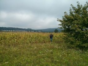
| − | + | [[Image:IMG_20140919_hashwhereisit.jpg | thumb | left | Into the cornfields. Again. Sigh.]]Todays hashpoint was situated about 60km south-east of Vienna near Donnerskirchen at the Neusiedler Lake. | |
| + | |||
== Participants == | == Participants == | ||
| − | + | * [[User:Micsnare|Micsnare]] | |
| − | + | * [[User:B2c|B2c]] | |
| + | |||
== Plans == | == Plans == | ||
| − | + | As Patrizius was away on a business trip at [[2014-09-19 50 7| Düsseldorf]], B2c called on his trusty friend Micsnare. She happily joined in as everyone knows by now, B2c was hopeless without a human satnav telling him where to go. The hashpoint was located south-east of Vienna in a field, so they expected no major surprises. | |
== Expedition == | == Expedition == | ||
| − | + | They met up early at the hashcave as both of them had to attend to other business in the afternoon. They decided to take the A4 to the east and then follow the Neusiedler Lake southward up until Donnerskirchen, from where it would be only a couple of minutes to the hashpoint. The A4, crowded as ever, delayed them for quite a bit, but as soon as they entered the federal roads it went pretty good for them. After about an hour they parked the car near some vineyard, jumped over a small ditch and ventured into the cornfields to grab today's hash. | |
| + | Afterwards B2c attempted a(nother) Tron Achievement, as it seemed possible to get home without crossing their tracks, alas there was a technicality... let's not speak of it anymore. | ||
| + | == Tracklog == | ||
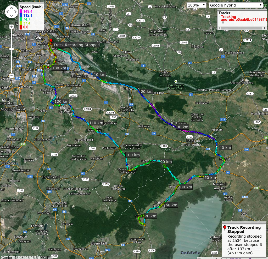
| + | [[File:Gpsvisualizer-2014-09-19-wien.png]] | ||
| − | |||
| − | |||
| − | |||
| − | == Photos == | + | == Photos == |
| − | < | + | <gallery caption="Photo Gallery" widths="320px" heights="213px" perrow="3"> |
| − | Image: | + | Image:IMG_20140919_micsnare_hi.jpg | Say hi to the new guy. Introducing: Micsnare, Patrizius' drop-in replacement. |
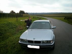
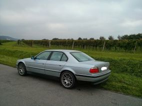
| − | -- | + | Image:IMG_20140919_hashcot.jpg | Front: Hashcot. Back: the grapes of hash. |
| − | + | Image:IMG_20140919_hashwhereisit.jpg | Please, not into the cornfields again... | |
| + | Image:IMG_20140919_micsnare_ditch.jpg | Micsnare@work. Some ditch jumping was required. | ||
| + | Image:IMG_20140919_b2cfields.jpg | B2c@work. | ||
| + | Image:2014-09-19_grin.jpg | Stupid Grin(tm). | ||
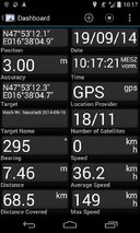
| + | Image:Screenshot_2014-09-19-gps.png | Proof. | ||
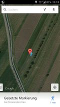
| + | Image:2014-09-19-hashdroid.jpg | More proof. | ||
| + | Image:IMG_20140919_micsnare_stuck.jpg | How many techies do you need for a geohash? None. That's a field engineer's job! (*duck*) | ||
</gallery> | </gallery> | ||
| − | |||
| − | |||
| − | |||
| − | + | == Achievements == | |
| − | + | {{consecutive geohash 2 | |
| − | + | | count = 17 | |
| − | + | | latitude = 47 | |
| − | + | | longitude = 14 | |
| + | | date = 2014-09-03 | ||
| + | | name = B2c | ||
| + | }} | ||
| − | |||
| − | |||
| − | |||
| − | |||
| − | |||
[[Category:Expeditions]] | [[Category:Expeditions]] | ||
| − | |||
[[Category:Expeditions with photos]] | [[Category:Expeditions with photos]] | ||
| − | |||
| − | |||
| − | |||
| − | |||
| − | |||
[[Category:Coordinates reached]] | [[Category:Coordinates reached]] | ||
| − | + | {{location|AT|B|EU}} | |
| − | |||
| − | |||
| − | |||
| − | |||
| − | |||
| − | |||
| − | |||
| − | |||
| − | |||
| − | |||
| − | |||
| − | |||
| − | |||
| − | |||
| − | |||
| − | |||
| − | |||
Latest revision as of 01:31, 15 August 2019
| Fri 19 Sep 2014 in 47,16: 47.8867517, 16.6346360 geohashing.info google osm bing/os kml crox |
Location
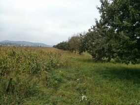
Todays hashpoint was situated about 60km south-east of Vienna near Donnerskirchen at the Neusiedler Lake.
Participants
Plans
As Patrizius was away on a business trip at Düsseldorf, B2c called on his trusty friend Micsnare. She happily joined in as everyone knows by now, B2c was hopeless without a human satnav telling him where to go. The hashpoint was located south-east of Vienna in a field, so they expected no major surprises.
Expedition
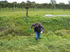
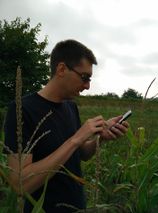
They met up early at the hashcave as both of them had to attend to other business in the afternoon. They decided to take the A4 to the east and then follow the Neusiedler Lake southward up until Donnerskirchen, from where it would be only a couple of minutes to the hashpoint. The A4, crowded as ever, delayed them for quite a bit, but as soon as they entered the federal roads it went pretty good for them. After about an hour they parked the car near some vineyard, jumped over a small ditch and ventured into the cornfields to grab today's hash. Afterwards B2c attempted a(nother) Tron Achievement, as it seemed possible to get home without crossing their tracks, alas there was a technicality... let's not speak of it anymore.
Tracklog
Photos
- Photo Gallery
Achievements
B2c earned the Consecutive geohash achievement
|
