Difference between revisions of "2015-04-10 50 9"
From Geohashing
imported>GeorgDerReisende (new expedition to the Hobertshäuser Berg) |
imported>FippeBot m (Location) |
||
| (3 intermediate revisions by one other user not shown) | |||
| Line 17: | Line 17: | ||
== Plans == | == Plans == | ||
| − | I will leave home at about 10:30, will hitchhike to the parking area Dottenberg on the motorway A5, and walk from there to the hash. | + | I will leave home at about 10:30, will hitchhike to the parking area Dottenberg on the motorway A5, and walk from there to the hash. If I need the same time like on the way to [[2013-08-29 50 9]], I will arrive there at about 15:20, but I will not wait for other geohashers. |
== Expedition == | == Expedition == | ||
| − | |||
| − | == | + | {| |
| − | + | |- | |
| + | ! style="width:300px" | !! style="width:300px" | !! style="width:300px" | | ||
| + | |- | ||
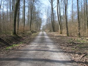
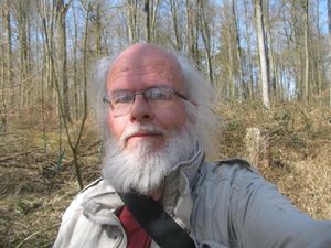
| + | | [[Image:2015-04-10 50 9 GeorgDerReisende 4080.jpg|300px]] || || I left home at 10:30, started to hitchhike at 11:00, and got a lift at 12:20. This car went directly to the parking area Dottenberg, where I arrived at 13:20. At once I walked into the forest, on good paved forest ways. | ||
| + | |- | ||
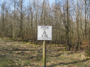
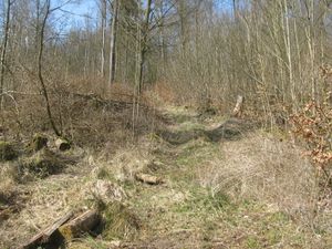
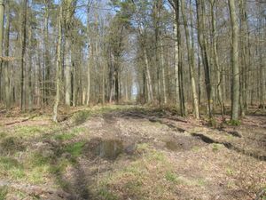
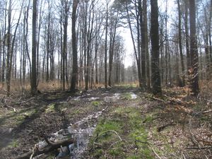
| + | | [[Image:2015-04-10 50 9 GeorgDerReisende 4096.jpg|300px]] || [[Image:2015-04-10 50 9 GeorgDerReisende 4137.jpg|300px]] || At the whole time all ways going to the left had a warning sign about explosives in the forest and to forbid to leave the ways. But I always was going to the right ways. But near the hash I had to change to a green forest way, with young trees and strings of stingy plants. Then I had to walk 60 meters into the wayless forest. | ||
| + | |- | ||
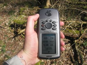
| + | | [[Image:2015-04-10 50 9 GeorgDerReisende 4143.jpg|300px]] || [[Image:2015-04-10 50 9 GeorgDerReisende 4145.jpg|300px]] || It looks easy, but the ground didn't allow a dance, but I got the zero meter shot fast. I was not sure, if I could get the photo of it, but while I waited, the pointer walked away into the very thick thicket. | ||
| + | |} | ||
| − | == | + | {| |
| − | + | |- | |
| − | Image: | + | ! style="width:180px" | !! style="width:180px" | !! style="width:180px" | !! style="width:180px" | !! style="width:180px" | |
| − | - | + | |- |
| − | + | | [[Image:2015-04-10 50 9 GeorgDerReisende 4144.jpg|180px]] the hash || [[Image:2015-04-10 50 9 GeorgDerReisende 4146.jpg|180px]] the south || [[Image:2015-04-10 50 9 GeorgDerReisende 4147.jpg|180px]] the west || [[Image:2015-04-10 50 9 GeorgDerReisende 4148.jpg|180px]] the north || [[Image:2015-04-10 50 9 GeorgDerReisende 4149.jpg|180px]] the east | |
| − | + | |} | |
| + | |||
| + | {| | ||
| + | |- | ||
| + | ! style="width:300px" | !! style="width:300px" | !! style="width:300px" | | ||
| + | |- | ||
| + | | [[Image:2015-04-10 50 9 GeorgDerReisende 4152.jpg|300px]] || [[Image:2015-04-10 50 9 GeorgDerReisende 4155.jpg|300px]] || To leave the forest I didn't take the forest way in the valley but the way on the hill. This was a muddy one. I always had to change the sides of the way. Partially I walked through the bushes and the young trees. But then I looked back and found a colourful picture against the sun. | ||
| + | |- | ||
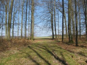
| + | | [[Image:2015-04-10 50 9 GeorgDerReisende 4162.jpg|300px]] || [[Image:2015-04-10 50 9 GeorgDerReisende 4167.jpg|300px]] || At least the forest way opened into a wide gate into the fields. On the meadows blew a warm wind, and it brought a spicy smell, which I liked. | ||
| + | |- | ||
| + | | [[Image:2015-04-10 50 9 GeorgDerReisende 4180.jpg|300px]] || || I spent a half hour at that place and made a small picnic. | ||
| + | |- | ||
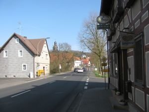
| + | | [[Image:2015-04-10 50 9 GeorgDerReisende 4196.jpg|300px]] || [[Image:2015-04-10 50 9 GeorgDerReisende 4215.jpg|300px]] || Then I walked to the village Ober-Gleen and hitchhiked home. I started at 16:10, and with changes of cars at Stadtallendorf, Kirchheim and Gilserberg I arrived at home at 19:40. | ||
| + | |} | ||
== Achievements == | == Achievements == | ||
| Line 36: | Line 56: | ||
<!-- Add any achievement ribbons you earned below, or remove this section --> | <!-- Add any achievement ribbons you earned below, or remove this section --> | ||
| + | {{Thumbs Up | latitude = 50 | longitude = 9 | date = 2015-04-10 | name = GeorgDerReisende }} | ||
| − | + | [[Category:Expeditions]] | |
| − | |||
| − | [[Category: | ||
| − | + | [[Category:Expeditions with photos]] | |
| − | |||
| − | |||
| − | |||
| − | |||
| − | |||
| − | |||
| − | |||
| − | |||
| − | |||
| − | |||
| − | |||
| − | |||
| − | |||
| − | |||
[[Category:Coordinates reached]] | [[Category:Coordinates reached]] | ||
| − | + | {{location|DE|HE|VB}} | |
| − | |||
| − | |||
| − | |||
| − | |||
| − | |||
| − | |||
| − | |||
| − | |||
| − | |||
| − | |||
| − | |||
| − | |||
| − | |||
| − | |||
| − | |||
| − | |||
| − | |||
Latest revision as of 03:17, 15 August 2019
| Fri 10 Apr 2015 in 50,9: 50.7396959, 9.1117356 geohashing.info google osm bing/os kml crox |
Location
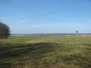
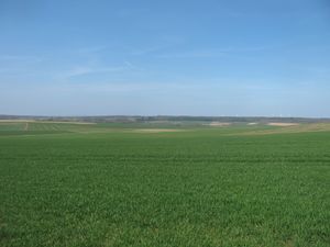
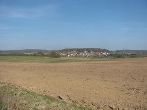
The hash lies on the Hobertshäuser Berg near Ober-Gleen.
Participants
Plans
I will leave home at about 10:30, will hitchhike to the parking area Dottenberg on the motorway A5, and walk from there to the hash. If I need the same time like on the way to 2013-08-29 50 9, I will arrive there at about 15:20, but I will not wait for other geohashers.
Expedition
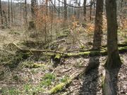 the hash the hash |
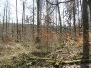 the south the south |
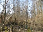 the west the west |
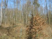 the north the north |
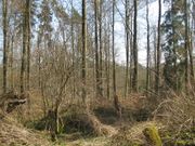 the east the east
|
Achievements
GeorgDerReisende earned the Thumbs Up Geohash Achievement
|
