Difference between revisions of "2015-07-01 51 9"
From Geohashing
imported>GeorgDerReisende m |
imported>FippeBot m (Location) |
||
| (One intermediate revision by one other user not shown) | |||
| Line 30: | Line 30: | ||
<!-- how it all turned out. your narrative goes here. --> | <!-- how it all turned out. your narrative goes here. --> | ||
| − | == | + | {| |
| − | + | |- | |
| − | + | ! style="width:300px" | !! style="width:300px" | !! style="width:300px" | | |
| − | + | |- | |
| − | + | | [[Image:2015-07-01 51 9 GeorgDerReisende 9155.jpg | 300px ]] || || I started at home at 8 o'clock and started to hitchhike at 8:45. After some minutes a car stopped and I got a direct lift to Weißenbach. I walked into the forest on that forestway I found at the last expedition ([[2015-04-23 51 9]]). | |
| − | Image: | + | |- |
| − | -- | + | | [[Image:2015-07-01 51 9 GeorgDerReisende 9166.jpg | 300px ]] || [[Image:2015-07-01 51 9 GeorgDerReisende 9172.jpg | 300px ]] || I found the hash some meters above the way. While I danced around, the pointer changed back and from the way and the tree. |
| − | + | |- | |
| − | + | | [[Image:2015-07-01 51 9 GeorgDerReisende 9167.jpg | 300px ]] || [[Image:2015-07-01 51 9 GeorgDerReisende 9173.jpg | 300px ]] || The hash and the geohasher. And I looked around. | |
| + | |- | ||
| + | | [[Image:2015-07-01 51 9 GeorgDerReisende 9168.jpg | 300px ]] to the north || [[Image:2015-07-01 51 9 GeorgDerReisende 9169.jpg | 300px ]] to the west || [[Image:2015-07-01 51 9 GeorgDerReisende 9170.jpg | 300px ]] to the south | ||
| + | |- | ||
| + | | [[Image:2015-07-01 51 9 GeorgDerReisende 9171.jpg | 300px ]] and to the east || [[Image:2015-07-01 51 9 GeorgDerReisende 9174.jpg | 300px ]] || Then I walked up to the rim of the hill and tried to look down, but there were only trees and no view. | ||
| + | |- | ||
| + | | [[Image:2015-07-01 51 9 GeorgDerReisende 9176.jpg | 300px ]] || || Then I wrote a mark onto a tree. | ||
| + | |- | ||
| + | | [[Image:2015-07-01 51 9 GeorgDerReisende 9204.jpg | 300px ]] || || Weißenbach from above. | ||
| + | |} | ||
== Achievements == | == Achievements == | ||
| Line 44: | Line 53: | ||
<!-- Add any achievement ribbons you earned below, or remove this section --> | <!-- Add any achievement ribbons you earned below, or remove this section --> | ||
| − | + | {{Thumbs Up | latitude = 51 | longitude = 9 | date = 2015-07-01 | name = GeorgDerReisende }} | |
| − | |||
| − | |||
| − | + | [[Category:Expeditions]] | |
| − | |||
| − | [[Category: | ||
| − | |||
| − | |||
| − | |||
| − | |||
[[Category:Expeditions with photos]] | [[Category:Expeditions with photos]] | ||
| − | + | ||
| − | |||
| − | |||
| − | |||
| − | |||
[[Category:Coordinates reached]] | [[Category:Coordinates reached]] | ||
| − | + | {{location|DE|HE|WIZ}} | |
| − | |||
| − | |||
| − | |||
| − | |||
| − | |||
| − | |||
| − | |||
| − | |||
| − | |||
| − | |||
| − | |||
| − | |||
| − | |||
| − | |||
| − | |||
| − | |||
| − | |||
Latest revision as of 04:12, 15 August 2019
| Wed 1 Jul 2015 in 51,9: 51.2565934, 9.8448728 geohashing.info google osm bing/os kml crox |
Location
The hash lies on the hill in the west of Weißenbach.
Participants
Plans
Hitchhiking and walking.
 |
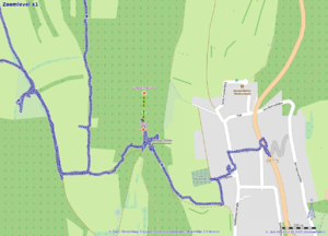 |
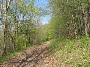
On my walk to 2015-04-23 51 9 I passed the pass of this hill between Weißenbach and Uengsterode. I took a photo of this forestway. Today I found out, that today's hash is only 107 meters away. Too dumb for not going. (Yesterday or tomorrow.) |
Expedition
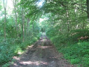 |
I started at home at 8 o'clock and started to hitchhike at 8:45. After some minutes a car stopped and I got a direct lift to Weißenbach. I walked into the forest on that forestway I found at the last expedition (2015-04-23 51 9). | |
 |
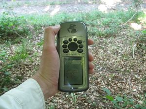 |
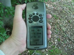
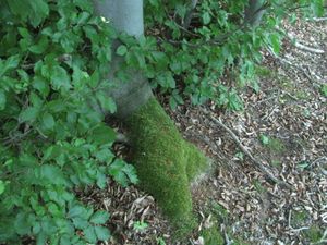
I found the hash some meters above the way. While I danced around, the pointer changed back and from the way and the tree. |
 |
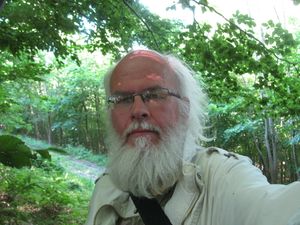 |
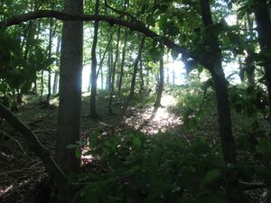
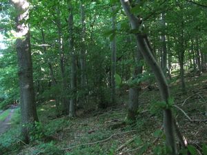
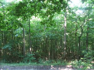
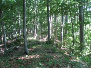
The hash and the geohasher. And I looked around. |
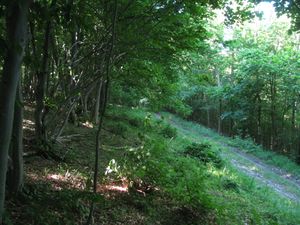 to the north to the north |
 to the west to the west |
 to the south to the south
|
 and to the east and to the east |
 |
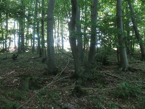
Then I walked up to the rim of the hill and tried to look down, but there were only trees and no view. |
 |
Then I wrote a mark onto a tree. | |
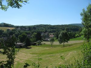 |
Weißenbach from above. |
Achievements
GeorgDerReisende earned the Thumbs Up Geohash Achievement
|