Difference between revisions of "2015-07-30 51 9"
From Geohashing
imported>GeorgDerReisende (new report) |
imported>FippeBot m (Location) |
||
| (One intermediate revision by one other user not shown) | |||
| Line 1: | Line 1: | ||
| − | |||
| − | |||
| − | |||
| − | |||
| − | |||
| − | |||
| − | |||
| − | |||
| − | |||
| − | |||
{{meetup graticule | {{meetup graticule | ||
| lat=51 | | lat=51 | ||
| Line 19: | Line 9: | ||
== Location == | == Location == | ||
| − | + | ||
| + | The hash lay on a way between a forest and a field north of Wettesingen. | ||
== Participants == | == Participants == | ||
| − | + | ||
| − | + | [[User:GeorgDerReisende|GeorgDerReisende]] | |
== Plans == | == Plans == | ||
| − | + | ||
| + | Hitchhiking and walking. | ||
== Expedition == | == Expedition == | ||
| − | |||
| − | |||
| − | |||
| − | |||
| − | == | + | {| |
| − | + | |- | |
| − | Image: | + | ! style="width:300px" | !! style="width:300px" | !! style="width:300px" | |
| − | --> | + | |- |
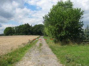
| − | + | | [[Image:2015-07-30 51 9 GeorgDerReisende 0031.jpg | 300px ]] || || I left home at 11:15, took the trams 3 and 5 and the bus 100 to the airport and started there to hitchhike at 12:18. After five minutes a car stopped and I got a lift direct to the hash forest. And I arrived at the beginning of the forest way at 12:37. | |
| − | + | |- | |
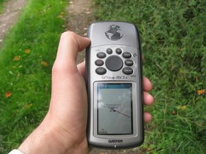
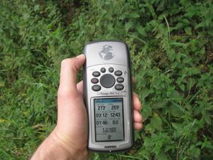
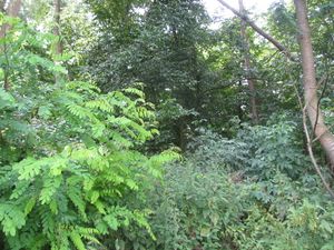
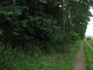
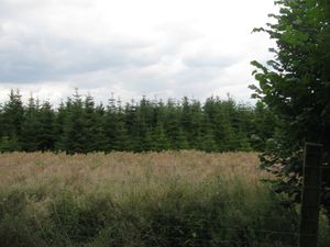
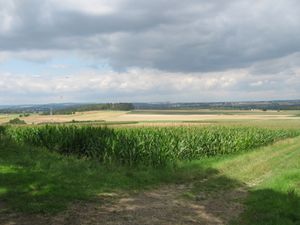
| + | | [[Image:2015-07-30 51 9 GeorgDerReisende 0040.jpg | 300px ]] || [[Image:2015-07-30 51 9 GeorgDerReisende 0038.jpg | 300px ]] || It was a straight walk for 230 meters to the hash. I found it one meter on the forest side of the way between the nettles. And I looked around: | ||
| + | |- | ||
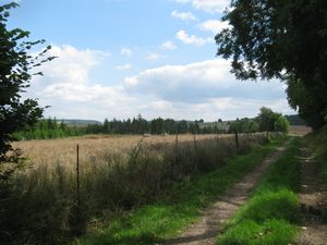
| + | | [[Image:2015-07-30 51 9 GeorgDerReisende 0041.jpg | 300px ]] the east || [[Image:2015-07-30 51 9 GeorgDerReisende 0042.jpg | 300px ]] the south || [[Image:2015-07-30 51 9 GeorgDerReisende 0043.jpg | 300px ]] the west | ||
| + | |- | ||
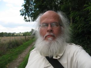
| + | | [[Image:2015-07-30 51 9 GeorgDerReisende 0044.jpg | 300px ]] the north || [[Image:2015-07-30 51 9 GeorgDerReisende 0045.jpg | 300px ]] and the geohasher || | ||
| + | |- | ||
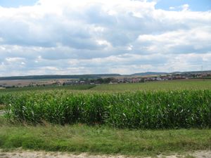
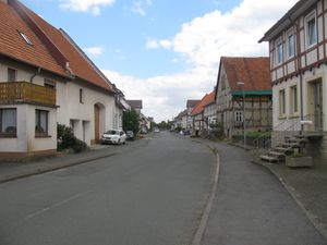
| + | | [[Image:2015-07-30 51 9 GeorgDerReisende 0047.jpg | 300px ]] And I walked the way a little bit more and had a view to Warburg. || [[Image:2015-07-30 51 9 GeorgDerReisende 0068.jpg | 300px ]] From the other side of the forest I had a view to Wettesingen. || [[Image:2015-07-30 51 9 GeorgDerReisende 0127.jpg | 300px ]] The main street of Wettesingen.<br> | ||
| + | |- | ||
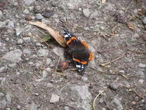
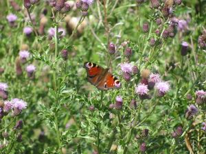
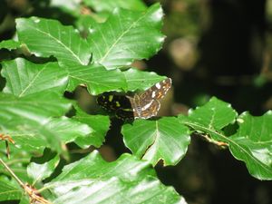
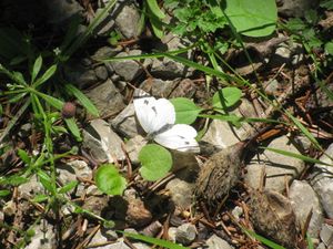
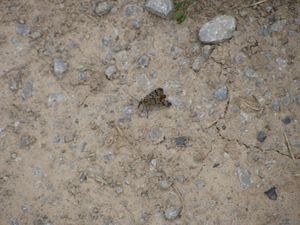
| + | | colspan = 3 | Near the hash and on the way to Breuna I saw a lot of butterflies and another flyer. | ||
| + | |- | ||
| + | | [[Image:2015-07-30 51 9 GeorgDerReisende 0054.jpg | 300px ]] || [[Image:2015-07-30 51 9 GeorgDerReisende 0078.jpg | 300px ]] || [[Image:2015-07-30 51 9 GeorgDerReisende 0164.jpg | 300px ]] | ||
| + | |- | ||
| + | | [[Image:2015-07-30 51 9 GeorgDerReisende 0170.jpg | 300px ]] || [[Image:2015-07-30 51 9 GeorgDerReisende 0213.jpg | 300px ]] || | ||
| + | |} | ||
== Achievements == | == Achievements == | ||
| Line 45: | Line 47: | ||
<!-- Add any achievement ribbons you earned below, or remove this section --> | <!-- Add any achievement ribbons you earned below, or remove this section --> | ||
| − | + | {{Thumbs Up | latitude = 51 | longitude = 9 | date = 2015-07-30 | name = GeorgDerReisende }} | |
| − | |||
| − | |||
| − | + | [[Category:Expeditions]] | |
| − | |||
| − | [[Category: | ||
| − | |||
| − | + | [[Category:Expeditions with photos]] | |
| − | |||
| − | |||
| − | |||
| − | |||
| − | |||
| − | |||
| − | |||
| − | |||
| − | |||
[[Category:Coordinates reached]] | [[Category:Coordinates reached]] | ||
| − | + | {{location|DE|HE|KS}} | |
| − | |||
| − | |||
| − | |||
| − | |||
| − | |||
| − | |||
| − | |||
| − | |||
| − | |||
| − | |||
| − | |||
| − | |||
| − | |||
| − | |||
| − | |||
| − | |||
| − | |||
Latest revision as of 04:34, 15 August 2019
| Thu 30 Jul 2015 in 51,9: 51.4605821, 9.1882657 geohashing.info google osm bing/os kml crox |
Location
The hash lay on a way between a forest and a field north of Wettesingen.
Participants
Plans
Hitchhiking and walking.
Expedition
Achievements
GeorgDerReisende earned the Thumbs Up Geohash Achievement
|
