Difference between revisions of "2015-09-09 51 9"
From Geohashing
imported>GeorgDerReisende (new expedition) |
m (Correction) |
||
| (4 intermediate revisions by 2 users not shown) | |||
| Line 1: | Line 1: | ||
| − | |||
| − | |||
| − | |||
| − | |||
| − | |||
| − | |||
| − | |||
| − | |||
| − | |||
| − | |||
{{meetup graticule | {{meetup graticule | ||
| lat=51 | | lat=51 | ||
| Line 19: | Line 9: | ||
== Location == | == Location == | ||
| − | + | ||
| + | The hash lies in the ''Reinhardswald'' north of Mariendorf. | ||
== Participants == | == Participants == | ||
| − | + | ||
| − | + | [[User:GeorgDerReisende|GeorgDerReisende]] | |
== Plans == | == Plans == | ||
| − | + | ||
| + | Public transport, hitchhiking and walking. | ||
== Expedition == | == Expedition == | ||
| − | |||
| − | == | + | {| |
| − | + | |- | |
| − | + | ! style="width:300px" | !! style="width:300px" | !! style="width:300px" | | |
| − | + | |- | |
| − | + | | [[Image:2015-09-09 51 9 GeorgDerReisende 1730.jpg | 300px ]] || || I left home at 12 o'clock, took the trams 7 and 1 and started to hitchhike at 13:00. After some minutes a car stopped, and I got a lift to Hohenkirchen. And the driver told me, that the road between Hohenkirchen and Immenhausen was closed due to roadworks. At first I thought about hitchhiking the deviation (a 10 km detour on less used roads), but as I reached the end of the village and looked for a good spot, I saw this situation: [[2014-01-05 51 9]] ahead and [[2015-08-15 51 9]] in the distance and I remembered, that I know this area ''good'' and decided to walk the whole distance, around nine kilometers. | |
| − | Image: | + | |- |
| − | -- | + | | [[Image:2015-09-09 51 9 GeorgDerReisende 1798.jpg | 300px ]] || [[Image:2015-09-09 51 9 GeorgDerReisende 1799.jpg | 300px ]] || After some kilometers of walk I came to this path between to meadows, on the meadow to the right were two hashhorses. |
| − | + | |- | |
| − | + | | [[Image:2015-09-09 51 9 GeorgDerReisende 1800.jpg | 300px ]] || || And I walked this path and it ended in a blackcurrent thicket. I wanted to cross the fence, with the horses near behind me, and I had a contact with the hand to the upper string and felt a ''whoop'' at the hand. | |
| + | |- | ||
| + | | [[Image:2015-09-09 51 9 GeorgDerReisende 1825.jpg | 300px ]] || [[Image:2015-09-09 51 9 GeorgDerReisende 1826.jpg | 300px ]] || Again later I arrived at the hash. At the beginning it looked easy, I walked straight to it. | ||
| + | |- | ||
| + | | [[Image:2015-09-09 51 9 GeorgDerReisende 1829.jpg | 300px ]] || [[Image:2015-09-09 51 9 GeorgDerReisende 1830.jpg | 300px ]] || At first I got a one meter shot, for a moment a zero meter shot too, but not for the photo. But I wanted a photo of it. And I had a big dance and couldn't get it. And I decided, that the small pond was the hash. And I looked around: | ||
| + | |- | ||
| + | | [[Image:2015-09-09 51 9 GeorgDerReisende 1832.jpg | 300px ]] to the east || [[Image:2015-09-09 51 9 GeorgDerReisende 1834.jpg | 300px ]] to the north || [[Image:2015-09-09 51 9 GeorgDerReisende 1833.jpg | 300px ]] to the west | ||
| + | |- | ||
| + | | [[Image:2015-09-09 51 9 GeorgDerReisende 1835.jpg | 300px ]] to the south || [[Image:2015-09-09 51 9 GeorgDerReisende 1836.jpg | 300px ]] to the geohasher || While I made some editing in OSM I found out, that the site has the name ''Fritz-Knauf-Platz''. | ||
| + | |- | ||
| + | | [[Image:2015-09-09 51 9 GeorgDerReisende 1837.jpg | 300px ]] || [[Image:2015-09-09 51 9 GeorgDerReisende 1838.jpg | 300px ]] || After taking the photo of the geohasher I looked to the GPS and was astonished: the hash should be 29 meters to the north, but when I walked to it, it changed again and ten meters south I got an unsharp photo of zero meters. Somewhere there was the hash, but I don't know where. | ||
| + | |} | ||
== Achievements == | == Achievements == | ||
| Line 45: | Line 47: | ||
<!-- Add any achievement ribbons you earned below, or remove this section --> | <!-- Add any achievement ribbons you earned below, or remove this section --> | ||
| − | + | {{ land geohash | latitude = 51 | longitude = 9 | date = 2015-09-09 | name = GeorgDerReisende }} | |
| − | |||
| − | |||
| − | + | {{OpenStreetMap achievement | latitude = 51 | longitude = 9 | date = 2015-09-09 | OSMlink = 33918925 }} | |
| − | |||
| − | |||
| − | |||
| − | + | [[Category:Expeditions]] | |
| − | |||
| − | |||
| − | |||
[[Category:Expeditions with photos]] | [[Category:Expeditions with photos]] | ||
| − | + | ||
| − | |||
| − | |||
| − | |||
| − | |||
[[Category:Coordinates reached]] | [[Category:Coordinates reached]] | ||
| − | + | {{location|DE|HE|KS}} | |
| − | |||
| − | |||
| − | |||
| − | |||
| − | |||
| − | |||
| − | |||
| − | |||
| − | |||
| − | |||
| − | |||
| − | |||
| − | |||
| − | |||
| − | |||
| − | |||
| − | |||
Latest revision as of 11:48, 21 March 2020
| Wed 9 Sep 2015 in 51,9: 51.4702918, 9.4996732 geohashing.info google osm bing/os kml crox |
Location
The hash lies in the Reinhardswald north of Mariendorf.
Participants
Plans
Public transport, hitchhiking and walking.
Expedition
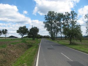 |
I left home at 12 o'clock, took the trams 7 and 1 and started to hitchhike at 13:00. After some minutes a car stopped, and I got a lift to Hohenkirchen. And the driver told me, that the road between Hohenkirchen and Immenhausen was closed due to roadworks. At first I thought about hitchhiking the deviation (a 10 km detour on less used roads), but as I reached the end of the village and looked for a good spot, I saw this situation: 2014-01-05 51 9 ahead and 2015-08-15 51 9 in the distance and I remembered, that I know this area good and decided to walk the whole distance, around nine kilometers. | |
 |
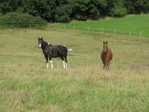 |
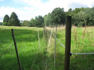
After some kilometers of walk I came to this path between to meadows, on the meadow to the right were two hashhorses. |
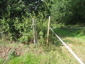 |
And I walked this path and it ended in a blackcurrent thicket. I wanted to cross the fence, with the horses near behind me, and I had a contact with the hand to the upper string and felt a whoop at the hand. | |
 |
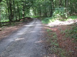 |
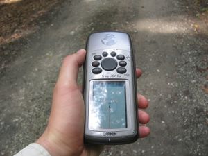
Again later I arrived at the hash. At the beginning it looked easy, I walked straight to it. |
 |
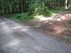 |
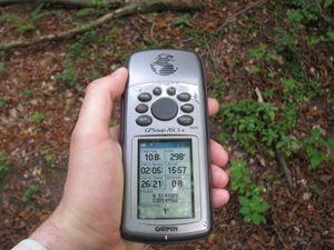
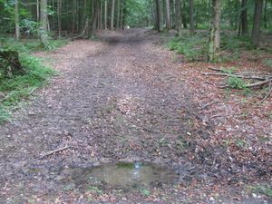
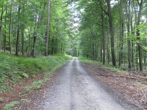
At first I got a one meter shot, for a moment a zero meter shot too, but not for the photo. But I wanted a photo of it. And I had a big dance and couldn't get it. And I decided, that the small pond was the hash. And I looked around: |
 to the east to the east |
 to the north to the north |
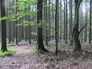 to the west to the west
|
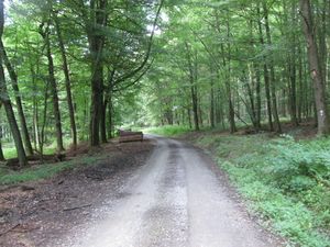 to the south to the south |
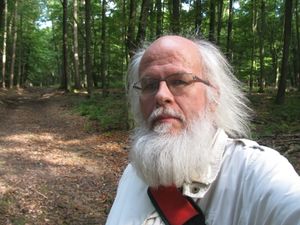 to the geohasher to the geohasher |
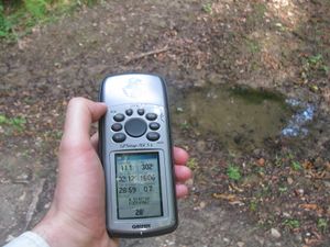
While I made some editing in OSM I found out, that the site has the name Fritz-Knauf-Platz. |
 |
 |
After taking the photo of the geohasher I looked to the GPS and was astonished: the hash should be 29 meters to the north, but when I walked to it, it changed again and ten meters south I got an unsharp photo of zero meters. Somewhere there was the hash, but I don't know where. |
Achievements
GeorgDerReisende earned the Land geohash achievement
|
This user earned the OpenStreetMap achievement
|