Difference between revisions of "2016-05-04 50 11"
From Geohashing
imported>Reinhard (Created page with "{{meetup graticule | lat=50 | lon=11 | date=2016-05-04 }} <!-- edit as necessary --> __NOTOC__ == Location == In a canola field near Egstedt/Erfurt, Thuringia, Germany. ==...") |
imported>FippeBot m (Location) |
||
| Line 29: | Line 29: | ||
[[Category:Expeditions with photos]] | [[Category:Expeditions with photos]] | ||
[[Category:Coordinates reached]] | [[Category:Coordinates reached]] | ||
| + | {{location|DE|TH|EF}} | ||
Latest revision as of 00:25, 16 August 2019
| Wed 4 May 2016 in 50,11: 50.9147023, 11.0612251 geohashing.info google osm bing/os kml crox |
Location
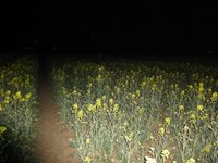
In a canola field near Egstedt/Erfurt, Thuringia, Germany.
Participants
Expedition
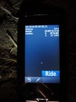
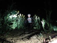
After sending my whole family to bed, I visited this too-close-to-miss hash by bike starting at 22:47. Had to walk for the last 100 m, mostly at the edge of the field. For the last steps I could carefully walk into the canola without harming any plants.
Tracklog of the bicycle ride
Photos
|


