Difference between revisions of "2016-05-21 48 16"
From Geohashing
imported>Jiml m (Sounds like plans are afoot - add cat) |
imported>FippeBot m (Location) |
||
| (8 intermediate revisions by one other user not shown) | |||
| Line 10: | Line 10: | ||
== Location == | == Location == | ||
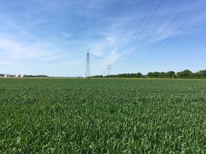
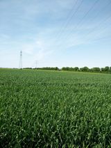
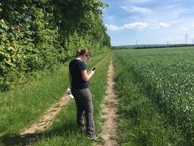
| − | Near Margarthen am Moos, 35 car-minutes south-east of Vienna. | + | [[Image:2016 05 21 4816 Field.jpg | thumb | left | Near Margarthen am Moos, 35 car-minutes south-east of Vienna. ]] |
== Participants == | == Participants == | ||
| Line 29: | Line 29: | ||
== Tracklog == | == Tracklog == | ||
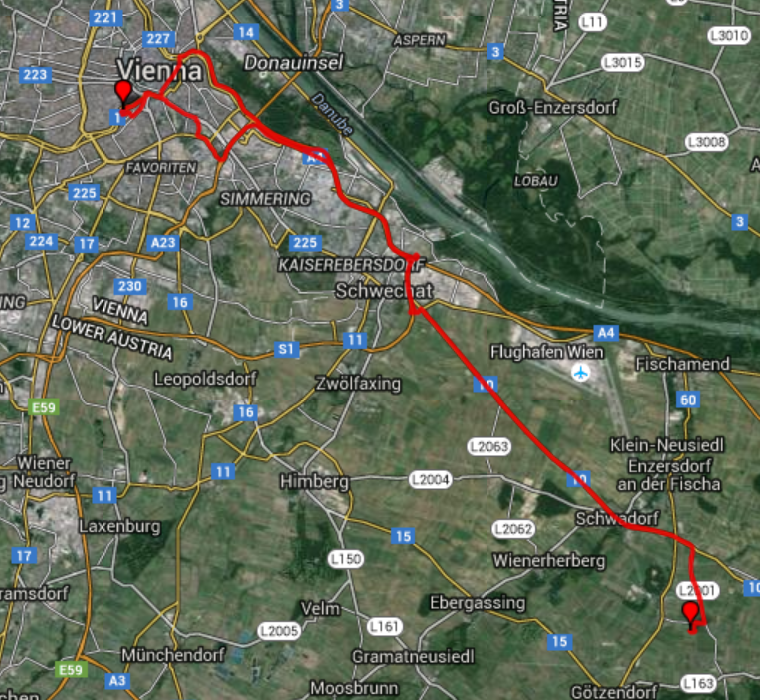
| − | + | [[File:Tracklog 4816.png]] | |
== Photos == | == Photos == | ||
| − | + | ||
| + | <gallery caption="Photo Gallery" widths="320px" heights="213px" perrow="3"> | ||
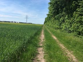
| + | Image:2016 05 21 4816 Waythere.jpg | On the way to the hashpoint. | ||
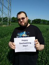
| + | Image:2016 05 21 4816 Crankl.jpg | Crankl holding the Hash sign! | ||
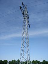
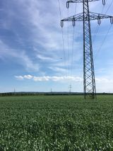
| + | Image:2016 05 21 4816 Powerstation.jpg | Powerstation in the middle of the hashfield. | ||
| + | Image:2016 05 21 4816 Hashfield.jpg | Field of Hash Dreams.... | ||
| + | Image:2016 05 21 4816 Hashafar.jpg | If you build it, he will come... | ||
| + | Image:2016 05 21 4816 Hashback.jpg | On the way back from the hashpoint. | ||
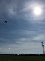
| + | Image:2016 05 21 4816 Hashplane.jpg| Hashplanes were flying low, although the pics doesn't show it. | ||
| + | Image:2016 05 21 4816 Hashplane2.jpg | Another Hashplane. | ||
| + | Image:2016 05 21 4816 Hashpoint.jpg | Directly on the Hashpoint. | ||
| + | Image:2016 05 21 4816 Micsnare.jpg | Micsnare checking the coordinates. | ||
| + | Image:2016 05 21 4816 Micsnare sign.jpg | Micsnare holding the Hash sign! | ||
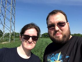
| + | Image:2016 05 21 4816 StupidGrin.jpg | Stupid grin (tm). | ||
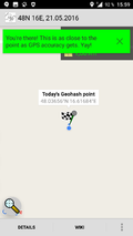
| + | Image:2016 05 21 4816 Proof.png | Proof. | ||
| + | Image:2016 05 21 4816 MoreProof.png | More Proof. | ||
| + | </gallery> | ||
== Achievements == | == Achievements == | ||
| − | |||
| − | [[Category: | + | {{Geohashing Day |
| + | | latitude = 48 | ||
| + | | longitude = 16 | ||
| + | | year = 2016 | ||
| + | | coorddate= 2016-05-21 | ||
| + | | name = [[User:Crankl|Crankl]] | ||
| + | | celebration = commemorating in awe | ||
| + | }} | ||
| + | |||
| + | {{Geohashing Day | ||
| + | | latitude = 48 | ||
| + | | longitude = 16 | ||
| + | | year = 2016 | ||
| + | | coorddate= 2016-05-21 | ||
| + | | name = [[User:Micsnare|Micsnare]] | ||
| + | | celebration = commemorating in awe | ||
| + | }} | ||
| + | |||
| + | [[Category:Expeditions]] | ||
| + | [[Category:Expeditions with photos]] | ||
| + | [[Category:Coordinates reached]] | ||
| + | {{location|AT|NÖ|BL}} | ||
Latest revision as of 00:34, 16 August 2019
| Sat 21 May 2016 in 48,16: 48.0365641, 16.6168378 geohashing.info google osm bing/os kml crox |
Location
Participants
Plans
Crankl and Micsnare are planning to grab the Saturday hash just half an hour outside of Vienna, which coincidentally happens to also be the Geohashing day. We will pay tribute to this special day by trying a distributed-hash experiment. Our dear friend B2c is unable to hash with us this time as he is visiting his folks at the other end of Austria. Despite family duties he will also try to grab a hash in his 47_10 graticule. The plan is to grab this hash at "hash o'clock" which is 4pm.
Watch this space, and also pay attention to B2c's hash report 2016-05-21_47_10 for a distributed hash-mania. :)
Expedition
tba
Tracklog
Photos
- Photo Gallery
Achievements
Crankl earned the 2016 Geohashing Day achievement
|
Micsnare earned the 2016 Geohashing Day achievement
|
