Difference between revisions of "2016-09-03 50 10"
From Geohashing
imported>Reinhard (report) |
imported>FippeBot m (Location) |
||
| (One intermediate revision by one other user not shown) | |||
| Line 22: | Line 22: | ||
== Photos == | == Photos == | ||
{{gallery|width=200|height=200|lines=1 | {{gallery|width=200|height=200|lines=1 | ||
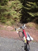
| − | |Image:20160903-50N10E-01.jpg| | + | |Image:20160903-50N10E-01.jpg|Bad direction. |
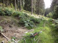
| − | |Image:20160903-50N10E-02.jpg| | + | |Image:20160903-50N10E-02.jpg|Good track. |
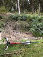
| − | |Image:20160903-50N10E-03.jpg| | + | |Image:20160903-50N10E-03.jpg|70 m up there. |
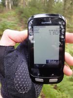
| − | |Image:20160903-50N10E-04.jpg| | + | |Image:20160903-50N10E-04.jpg|Coordinates reached. |
| − | |Image:20160903-50N10E-05.jpg| | + | |Image:20160903-50N10E-05.jpg|At the hashpoint. |
| − | |Image:20160903-50N10E-06.jpg| | + | |Image:20160903-50N10E-06.jpg|There it is. |
}} | }} | ||
| Line 33: | Line 33: | ||
[[Category:Expeditions with photos]] | [[Category:Expeditions with photos]] | ||
[[Category:Coordinates reached]] | [[Category:Coordinates reached]] | ||
| + | {{location|DE|TH|HBN}} | ||
Latest revision as of 01:23, 16 August 2019
| Sat 3 Sep 2016 in 50,10: 50.5711975, 10.7095694 geohashing.info google osm bing/os kml crox |
Location
In the forest near Suhl-Friedberg, Germany.
Participants
Expedition
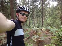
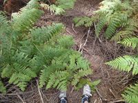
Reinhard cycled there (39 km round trip), took the gravel road close to the point, walked along an overgrown trail and climbed up a slope to get to the point.
Tracklog of the bicycle ride
Photos
|
