Difference between revisions of "2017-03-15 51 9"
From Geohashing
imported>GeorgDerReisende (new report) |
imported>FippeBot m (Location) |
||
| (One intermediate revision by one other user not shown) | |||
| Line 1: | Line 1: | ||
| − | |||
| − | |||
| − | |||
| − | |||
| − | |||
| − | |||
| − | |||
| − | |||
| − | |||
| − | |||
{{meetup graticule | {{meetup graticule | ||
| lat=51 | | lat=51 | ||
| Line 19: | Line 9: | ||
== Location == | == Location == | ||
| − | + | ||
| + | The hash lay in the forest south of Calden. | ||
== Participants == | == Participants == | ||
| − | + | ||
| − | + | [[User:GeorgDerReisende|GeorgDerReisende]] | |
== Plans == | == Plans == | ||
| − | + | ||
| + | Traveling by bus to Schäferberg and walking to the hash. | ||
== Expedition == | == Expedition == | ||
| − | |||
| − | == | + | {| |
| − | + | |- | |
| + | ! style="width:300px" | !! style="width:300px" | !! style="width:300px" | | ||
| + | |- | ||
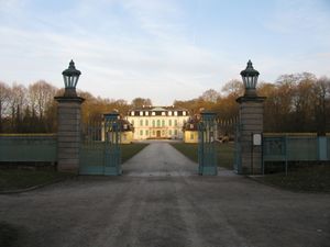
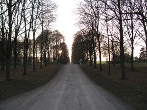
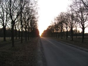
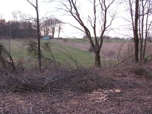
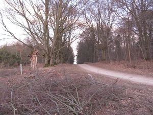
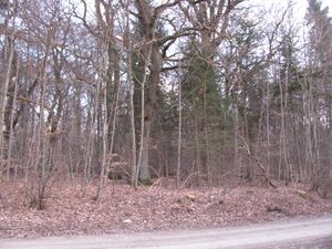
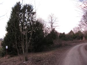
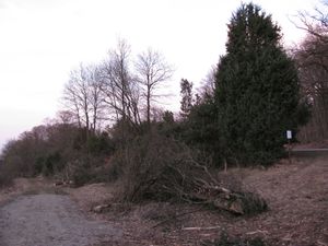
| + | | colspan = 3 | What are the interesting things for a report? The way to the hash, walking an alley from the small castle to the hash? | ||
| + | |- | ||
| + | | [[Image:2017-03-15 51 9 GeorgDerReisende 1420.jpg|300px]] || [[Image:2017-03-15 51 9 GeorgDerReisende 1421.jpg|300px]] || [[Image:2017-03-15 51 9 GeorgDerReisende 1444.jpg|300px]] | ||
| + | |- | ||
| + | | | ||
| + | |- | ||
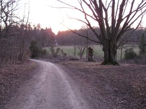
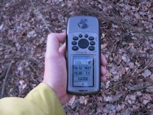
| + | | colspan = 3 | Or the report from the hash. Got it? As usual: Arriving. | ||
| + | |- | ||
| + | | [[Image:2017-03-15 51 9 GeorgDerReisende 1474.jpg|300px]] Twenty meters to hash. || [[Image:2017-03-15 51 9 GeorgDerReisende 1475.jpg|300px]] Five meters. || [[Image:2017-03-15 51 9 GeorgDerReisende 1478.jpg|300px]] Zero meters. | ||
| + | |- | ||
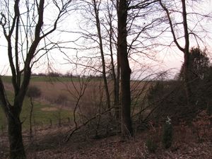
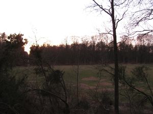
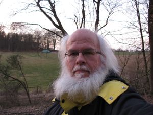
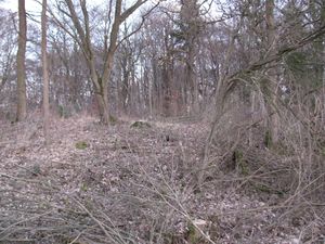
| + | | colspan = 3 | And looking around: | ||
| + | |- | ||
| + | | [[Image:2017-03-15 51 9 GeorgDerReisende 1480.jpg|300px]] to the north || [[Image:2017-03-15 51 9 GeorgDerReisende 1481.jpg|300px]] to the east || [[Image:2017-03-15 51 9 GeorgDerReisende 1482.jpg|300px]] to the south | ||
| + | |- | ||
| + | | [[Image:2017-03-15 51 9 GeorgDerReisende 1483.jpg|300px]] to the west || [[Image:2017-03-15 51 9 GeorgDerReisende 1486.jpg|300px]] and to the geohasher? || | ||
| + | |- | ||
| + | | colspan = 3 | Or is this the story? How I disturbed a Natural Monument? | ||
| + | |- | ||
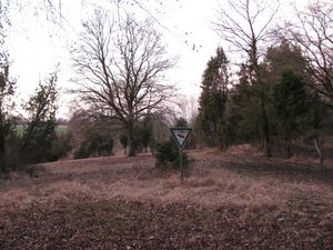
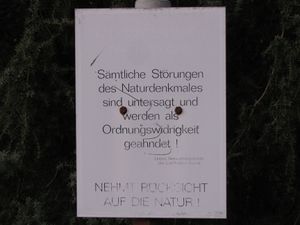
| + | | [[Image:2017-03-15 51 9 GeorgDerReisende 1473.jpg|300px]] || [[Image:2017-03-15 51 9 GeorgDerReisende 1488.jpg|300px]] || Shortly before I arrived at the hash I saw a sign, which told me, that the area was an extensive natural monument. Beside that sign was another sign, which told pupils about calcareous grassland. Both signs didn't stand beside the forest way, but about ten meters in the forest. On the other side of the hash I found a sign, which told me: „Sämtliche Störungen des Naturdenkmals sind untersagt und werden als Ordnungswidrigkeit geahndet! Nehmt Rücksicht auf die Natur!“ | ||
| + | |- | ||
| + | | || colspan = 2 | engl.: ''All disturbances of the natural monument are forbidden and are punished as an administrative offense! Take care of nature!'' And I noticed, I made some steps in some rubble in that area. | ||
| + | |- | ||
| + | | [[Image:2017-03-15 51 9 GeorgDerReisende 1489.jpg|300px]] || [[Image:2017-03-15 51 9 GeorgDerReisende 1493.jpg|300px]] || [[Image:2017-03-15 51 9 GeorgDerReisende 1494.jpg|300px]] | ||
| + | |- | ||
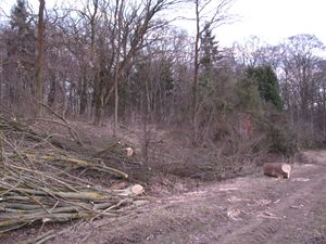
| + | | [[Image:2017-03-15 51 9 GeorgDerReisende 1497.jpg|300px]] || colspan = 2 | But looking around I saw a lot of killed trees and bushes just at that place. | ||
| + | |- | ||
| + | | [[Image:2017-03-15 51 9 GeorgDerReisende 1499.jpg|300px]] || On the way home. || | ||
| + | |} | ||
| − | |||
| − | |||
| − | |||
| − | |||
| − | |||
| − | |||
== Achievements == | == Achievements == | ||
| Line 45: | Line 60: | ||
<!-- Add any achievement ribbons you earned below, or remove this section --> | <!-- Add any achievement ribbons you earned below, or remove this section --> | ||
| − | + | {{land geohash | latitude = 51 | longitude = 9 | date = 2017-03-15 | name = GeorgDerReisende }} | |
| − | |||
| − | |||
| − | + | [[Category:Expeditions]] | |
| − | + | [[Category:Expeditions with photos]] | |
| − | |||
| − | |||
| − | |||
| − | |||
| − | |||
| − | |||
| − | |||
| − | |||
| − | |||
| − | |||
| − | |||
| − | |||
| − | |||
| − | |||
[[Category:Coordinates reached]] | [[Category:Coordinates reached]] | ||
| − | + | {{location|DE|HE|KS}} | |
| − | |||
| − | |||
| − | |||
| − | |||
| − | |||
| − | |||
| − | |||
| − | |||
| − | |||
| − | |||
| − | |||
| − | |||
| − | |||
| − | |||
| − | |||
| − | |||
| − | |||
Latest revision as of 02:15, 16 August 2019
| Wed 15 Mar 2017 in 51,9: 51.3915635, 9.3954586 geohashing.info google osm bing/os kml crox |
Location
The hash lay in the forest south of Calden.
Participants
Plans
Traveling by bus to Schäferberg and walking to the hash.
Expedition
Achievements
GeorgDerReisende earned the Land geohash achievement
|
