Difference between revisions of "2017-03-12 48 15"
imported>B2c (Created page with "{{meetup graticule | lat=48 | lon=15 | date=2017-03-12 }} == Location == Image:2017-03-12-48_15-hashpoint.jpg | thumb | left | Hashpoint was located in a pasture west of V...") |
imported>FippeBot m (Location) |
||
| (3 intermediate revisions by one other user not shown) | |||
| Line 6: | Line 6: | ||
== Location == | == Location == | ||
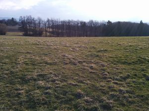
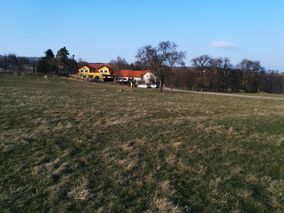
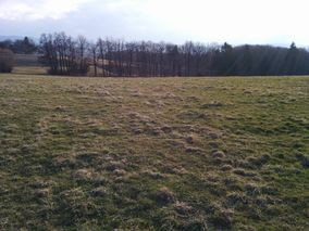
| − | [[Image:2017-03-12-48_15-hashpoint.jpg | thumb | left | Hashpoint was located in a pasture west of Vienna near the homestead | + | [[Image:2017-03-12-48_15-hashpoint.jpg | thumb | left | Hashpoint was located in a pasture west of Vienna near the homestead Knagg.]] |
| Line 48: | Line 48: | ||
| action = walking and taking the train | | action = walking and taking the train | ||
| latitude = 48 | | latitude = 48 | ||
| − | | longitude = | + | | longitude = 15 |
| − | | date = 2017- | + | | date = 2017-03-12 |
| − | | name = B2c | + | | name = [[User:B2c|B2c]] |
| icon1 = Walk.PNG | | icon1 = Walk.PNG | ||
| icon2 = Bus.PNG | | icon2 = Bus.PNG | ||
| Line 56: | Line 56: | ||
| cat2 = Public transport geohash achievement | | cat2 = Public transport geohash achievement | ||
}} | }} | ||
| − | |||
== Tracklog == | == Tracklog == | ||
| Line 66: | Line 65: | ||
[[Category:Expeditions with photos]] | [[Category:Expeditions with photos]] | ||
[[Category:Coordinates reached]] | [[Category:Coordinates reached]] | ||
| + | {{location|AT|NÖ|PL}} | ||
Latest revision as of 01:00, 6 August 2019
| Sun 12 Mar 2017 in 48,15: 48.1649559, 15.9398019 geohashing.info google osm bing/os kml crox |
Location
Participants
Plans
As the weather forecast for Sunday was promising B2c planned to take the train from Wien Westbahnhof (Station Vienna West) to Eichgraben and walk to the hashpoint from thereon.
Expedition
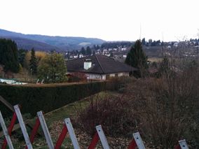
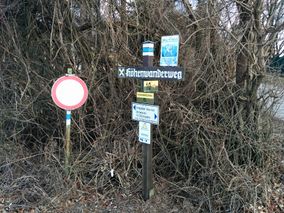
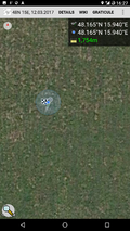
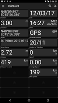
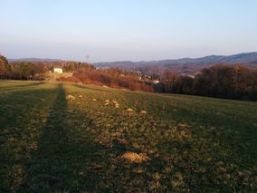
B2c boarded the train around 3pm after late luncheon. The train ride to Eichgraben took about 30 minutes, and from the trainstation B2c expected an hour long walk to the hashpoint. Weather forecast was right for once and it was a sunny afternoon, a warm promise of the arriving spring. The walk to the hashpoint was along steadily inclining small rural roads and took a little longer than B2c thought first, but the hashpoint was easily reachable in a pasture behind a small farm homestead. On the way back B2c discovered that the 'Wiener Höhenwanderweg' (Vienna walking trail) offered an alternative route back to the train station, which offered a scenic walk back. In the end all went as planned and B2c managed to catch the 5:30pm train back to Vienna.
Photos
- Photo Gallery
Achievements
- As nearly half of the time to reach the hashpoint was either spent walking or going by train, I think it's fair to claim a fifty-fifty combo achievement ;)
B2c earned the Combined Walk / Public Transport Geohash Achievement
|
Tracklog
- Tracklog messed up for a short distance on the train ride, apologies.
