Difference between revisions of "2018-07-02 50 14"
imported>Danatar (Report!) |
imported>FippeBot m (Location) |
||
| (One intermediate revision by one other user not shown) | |||
| Line 46: | Line 46: | ||
===tracklog=== | ===tracklog=== | ||
| − | + | [http://www.mygpsfiles.com/app/#https://www.dropbox.com/sh/l38ubdidvmv439v/AAA8vbQd_hhM2ycVtHETm2Jsa/2018/2018-07-02_50_14-triton.gpx Triton tracklog] | |
[[Category:Expeditions]] | [[Category:Expeditions]] | ||
| Line 52: | Line 52: | ||
[[Category:Coordinates reached]] | [[Category:Coordinates reached]] | ||
[[Category:Danatar]] | [[Category:Danatar]] | ||
| + | {{location|CZ|US|1}} | ||
Latest revision as of 01:07, 6 August 2019
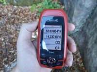
| Mon 2 Jul 2018 in 50,14: 50.8765360, 14.2374564 geohashing.info google osm bing/os kml crox |
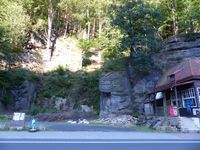
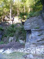
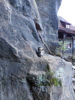
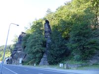
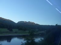
Today's location is at the sandstone cliff right next to the river Elbe at Hřensko.
Country: Czech Republic; region: Ústecký kraj (EU:CZ:US); (district, obsolete: Okres Děčín), municipality Hřensko
Planning
Danatar: The hashpoint seems to be directly at the cliff right next to the river Elbe. I can't say whether it's up or down the cliff or accessible at all, but according to OSM there is a path very near to it. I plan to take the train to Schöna (Germany) after work (starting 17:32 or 18:04 at Reick station), then take the ferry to Hřensko (Czech Republic) and walk the other 300 meters to the spot.
Expedition (Danatar)
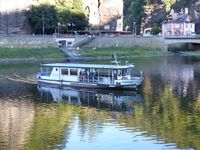
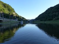
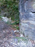
I cycled to the Dresden-Strehlen train stop, then took the train to Schöna where I arrived at about 18:57. There I boarded the ferry that crosses the Elbe and at the same time the border. I don't know if the ferry captain doubles as a border guard but the only thing he said to me (besides the ticket price) was "don't miss the last train at XX". That's the EU for you. After arriving on the other side reaching the hashpoint was easy, I just walked a short bit down the road. When I reached the spot I was greeted by a big pile of trash, mostly demolition rubble. The spot was directly at the steep cliff and I had to dance around a bit to get the coordinates right. If there had been a way up the cliff I'm sure the hashpoint would have been reached up there as well but getting there would probably have included falling down. As there was not much interesting stuff at the hashpoint (and I didn't want to check the trash) I returned to the ferry dock because I wanted to take the return train at 19:35. There was only the problem that when I arrived at the ferry dock at about 19:25 the ferry had just left. I watched it arrive on the other side, the clock was ticking, the passengers debarked, the clock was ticking, new passengers boarded, the clock was ticking... When I saw the train arrive and the ferry only on its way back to the Czech side I realized that I would have to take the next train one hour later. I walked into Hřensko while the asian vendors closed the stalls where they sell high-quality and 200% original articles and looked for a place to eat. I found a small restaurant and asked the waiter if it would be possible to pay in Euros (the Czech Republic is in the EU but hasn't joined the Euro). He was affirmative but he had to ask in the kitchen whether they would still cook something for me, which they did. I had a beer and a meat dish. The food came quickly, I ate quickly, it was okay and it cost less than 6 Euros, very cheap in comparison to the German prices. Then I went back to the ferry with enough time to spare and was able to cross before the next train arrived and brought me back to Dresden.
Danatar earned the Border geohash achievement
|
|
