Difference between revisions of "2018-09-16 50 11"
From Geohashing
imported>Reinhard (report) |
imported>FippeBot m (Location) |
||
| Line 31: | Line 31: | ||
[[Category:Expeditions with photos]] | [[Category:Expeditions with photos]] | ||
[[Category:Coordinates reached]] | [[Category:Coordinates reached]] | ||
| + | {{location|DE|TH|AP}} | ||
Latest revision as of 04:05, 16 August 2019
| Sun 16 Sep 2018 in 50,11: 50.8419373, 11.4197608 geohashing.info google osm bing/os kml crox |
Location
On a meadow not far from Keßlar, Thuringia, Germany.
Participants
Expedition
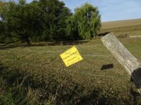
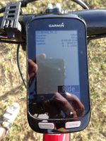
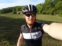
When cycling from Schleusingerneundorf to Jena, Keßlar is not on my standard route, but only a marginal detour. After reaching Keßlar and following a path for about 100 m, I found the hash meadow fenced and with the warning "Caution! Loose bull - Danger to life!", but the fence was open and no bull in sight. Easily got to the point, took my pictures.
Tracklog
Photos
|


