Difference between revisions of "2008-06-08 56 13"
From Geohashing
imported>Thomcat (Success/failure category added) |
imported>FippeBot m (Location) |
||
| Line 27: | Line 27: | ||
[[Category:Expeditions with photos]] | [[Category:Expeditions with photos]] | ||
[[Category:Coordinates reached]] | [[Category:Coordinates reached]] | ||
| + | {{location|SE|M}} | ||
Latest revision as of 04:57, 7 August 2019
| Sun 8 Jun 2008 in Hässleholm: 56.0475817, 13.2309159 geohashing.info google osm bing/os kml crox |
Expeditions
On 2008-06-08, the point in Hässleholm is here Aerial photo. It's located just north of Söderåsen national park.
Markus, Peter, Natalie and Sara journeyed past semi-abandoned farms, on small roads that could just barely be found, reaching the hash about 16.20 on the lovely sunday afternoon. Unfortunately they didn't bump into someone else there. As the location wasn't that suitable for gaming, they later relocated to a nearby national park.
Images
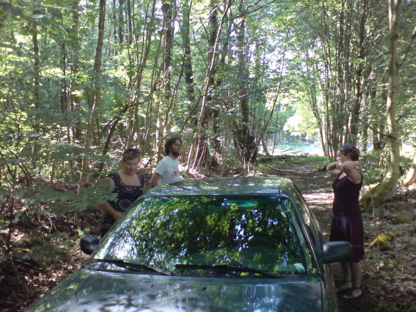
 Arriving at the scene. Notice the huge road we eventually found. At the other end, it was completely overgrown and blocked.
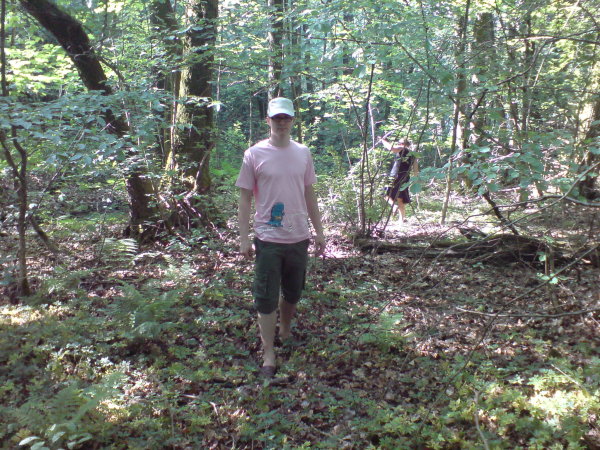
 Markus, close to the spot.