Difference between revisions of "2024-01-04 47 8"
Globescorer (talk | contribs) (→Achievements) |
(Categories) |
||
| (16 intermediate revisions by one other user not shown) | |||
| Line 10: | Line 10: | ||
==Expedition== | ==Expedition== | ||
| − | + | When I saw the coordinates yesterday when they were published, I had my fears... Since the point is in the neighboring village '''[https://de.wikipedia.org/wiki/Andelfingen_ZH Andelfingen]''', I knew that they were building houses in this field. You can still see the field on the evidence image (satellite image), but Google has already positioned the house numbers. So I drove by there after work to take a quick look: The houses have been built to such an extent that some apartments have already been occupied and access is no longer closed. The main thing that still needs to be created is the surrounding area including the bike houses. Temporary lighting was installed which guided me to the coordinates. Fortunately, these are still just on the edge of the access path. | |
| + | |||
| + | So today I drove here again before work to document my expedition. I parked my car a little further away in the neighborhood and walked the rest of the way here. I also passed an [[2023-02-10_47_8|earlier geohash]], which according to calculations is only 128m from the current point. I would therefore like to give myself '''the Déja-vu award'''. In addition, I took the train from Andelfingen towards Winterthur thousands of times just a few meters from the geohash point. The traintracks can also be seen in the satellite image. The internet page of the construction site is: '''[https://www.imlaufen-andelfingen.ch/home "Wohnpark im Laufen"]'''. There you can see the buildings and surroundings computeranimated... Or you can buy the last free appartement there ;-) | ||
| + | |||
| + | So I arrived back at the point between the new houses and let the GPS settle. After the documentation was done, I left the place, walked back to the car and drove to work. This is the 2nd day of geohashing in a row. | ||
'''Success!''' | '''Success!''' | ||
| Line 23: | Line 27: | ||
File:2024-01-04 47 8 Proof 1.jpg |The Proof 1 | File:2024-01-04 47 8 Proof 1.jpg |The Proof 1 | ||
File:2024-01-04 47 8 Proof 2.jpg |The Proof 2 | File:2024-01-04 47 8 Proof 2.jpg |The Proof 2 | ||
| + | </gallery> | ||
| + | |||
| + | == Déja vu == | ||
| + | |||
| + | <gallery mode="packed" heights="250px"> | ||
| + | File:2023-02-10 47 8 Approach 3.jpg |Déja vu then 2023-02-10 | ||
| + | File:2024-01-04 47 8 Deja Vu.jpg |Déja vu now 2024-01-04 | ||
</gallery> | </gallery> | ||
==Achievements== | ==Achievements== | ||
{{consecutive geohash 2 | count = 2 | latitude = 47 | longitude = 8 | date = 2024-01-03 | name = globescorer }} | {{consecutive geohash 2 | count = 2 | latitude = 47 | longitude = 8 | date = 2024-01-03 | name = globescorer }} | ||
| + | {{déjà vu geohash|latitude=47|longitude=8|date=2024-01-04|olddate=[[2023-02-10 47 8|2023-02-10]]|name=[[User:globescorer|globescorer]]|image=2023-02-10 47 8 Approach 3.jpg}} | ||
{{land geohash|date=2024-01-04|latitude=47|longitude=8|name=[[User:globescorer|globescorer]]|image=2024-01-04 47 8 The Geohash.jpg}} | {{land geohash|date=2024-01-04|latitude=47|longitude=8|name=[[User:globescorer|globescorer]]|image=2024-01-04 47 8 The Geohash.jpg}} | ||
| + | |||
| + | __NOTOC__ | ||
| + | [[Category:Expeditions]] | ||
| + | [[Category:Coordinates reached]] | ||
| + | [[Category:Expeditions with photos]] | ||
{{location|CH|ZH}} | {{location|CH|ZH}} | ||
Latest revision as of 18:38, 4 January 2024
| Thu 4 Jan 2024 in 47,8: 47.5922998, 8.6709262 geohashing.info google osm bing/os kml crox |
Location
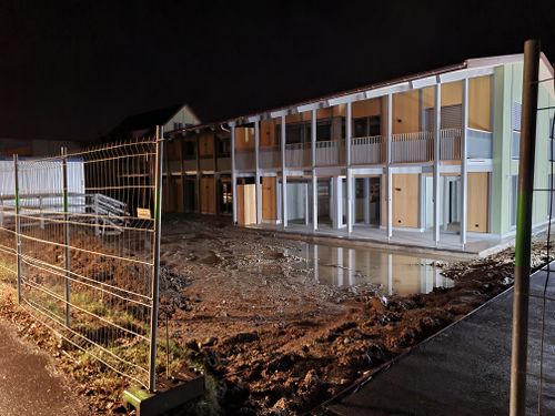
This Geohash is located between houses under construction in Andelfingen (ZH), Switzerland.
Participants
Plans
To drive to the coordinates before work in the morning.
Expedition
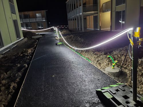
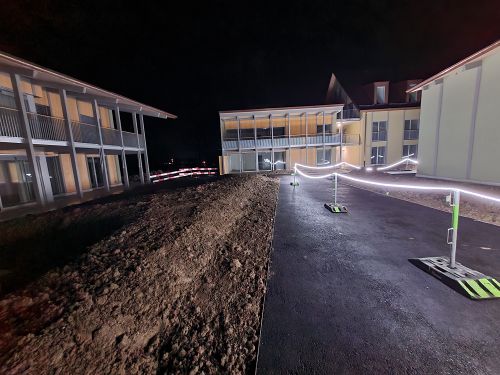
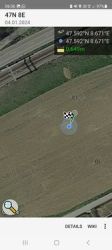
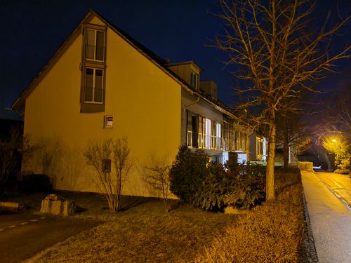
When I saw the coordinates yesterday when they were published, I had my fears... Since the point is in the neighboring village Andelfingen, I knew that they were building houses in this field. You can still see the field on the evidence image (satellite image), but Google has already positioned the house numbers. So I drove by there after work to take a quick look: The houses have been built to such an extent that some apartments have already been occupied and access is no longer closed. The main thing that still needs to be created is the surrounding area including the bike houses. Temporary lighting was installed which guided me to the coordinates. Fortunately, these are still just on the edge of the access path.
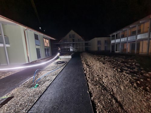
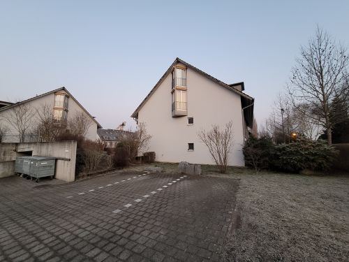
So today I drove here again before work to document my expedition. I parked my car a little further away in the neighborhood and walked the rest of the way here. I also passed an earlier geohash, which according to calculations is only 128m from the current point. I would therefore like to give myself the Déja-vu award. In addition, I took the train from Andelfingen towards Winterthur thousands of times just a few meters from the geohash point. The traintracks can also be seen in the satellite image. The internet page of the construction site is: "Wohnpark im Laufen". There you can see the buildings and surroundings computeranimated... Or you can buy the last free appartement there ;-)
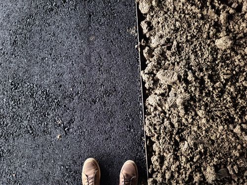
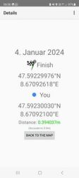
So I arrived back at the point between the new houses and let the GPS settle. After the documentation was done, I left the place, walked back to the car and drove to work. This is the 2nd day of geohashing in a row.
Success!
Photos
Déja vu
Achievements
globescorer earned the Consecutive geohash achievement
|
globescorer earned the Déjà Vu Geohash Achievement
|
globescorer earned the Land geohash achievement
|
