Difference between revisions of "2024-01-30 52 7"
From Geohashing
(new report) |
(last man standing) |
||
| Line 29: | Line 29: | ||
{{#vardefine:ribbonwidth|100%}} | {{#vardefine:ribbonwidth|100%}} | ||
{{land geohash|date=2024-01-30|latitude=52|longitude=7|name=[[User:Fippe|Fippe]]|image=2024-01-30 52 7 03 Geohash.jpg}} | {{land geohash|date=2024-01-30|latitude=52|longitude=7|name=[[User:Fippe|Fippe]]|image=2024-01-30 52 7 03 Geohash.jpg}} | ||
| + | {{last man standing|date=2024-01-30|latitude=52|longitude=7|name=[[User:Fippe|Fippe]]}} | ||
{{OSM|date=2024-01-30|latitude=52|longitude=7|OSMlink=146879467|name=[[User:Fippe|Fippe]]|image=2024-01-30 52 7 06 Muni Berka.jpg}} | {{OSM|date=2024-01-30|latitude=52|longitude=7|OSMlink=146879467|name=[[User:Fippe|Fippe]]|image=2024-01-30 52 7 06 Muni Berka.jpg}} | ||
Latest revision as of 19:36, 19 May 2024
| Tue 30 Jan 2024 in 52,7: 52.2541607, 7.2008708 geohashing.info google osm bing/os kml crox |
Location
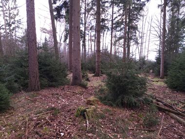
This Geohash is located in a forest in Ochtrup.
Participants
Expedition
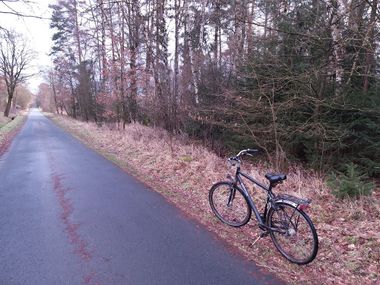
In the afternoon, I took the train to Bad Bentheim and cycled the rest of the distance.
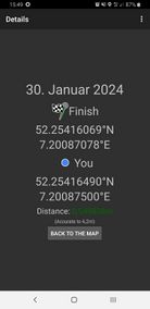
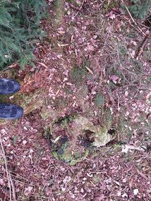
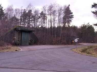
The coordinates were in a forest. On the way, I passed the Muni Berka (former?) ammunition depot, but luckily, the coordinates were not on the fenced-off property. I located the coordinates on a tree stump and recorded proof.
Afterwards, I cycled to Rheine and took the train back to Osnabrück. Instead of leaving the train, I decided to stay on the train towards 2024-01-30 52 8 in Wissingen.
Photos
Tracklog
Ribbons
Fippe earned the Land geohash achievement
|
Fippe earned the Last man standing achievement
|
Fippe earned the OpenStreetMap achievement
|
