Difference between revisions of "2024-02-05 47 8"
Globescorer (talk | contribs) (→Photos) |
(Categories) |
||
| (4 intermediate revisions by 2 users not shown) | |||
| Line 10: | Line 10: | ||
==Expedition== | ==Expedition== | ||
| − | + | So here's the report: | |
| + | |||
| + | As planned, I drove as close to the coordinates as possible this morning. Already on the way I realized that I had forgotten to bring my hiking boots for the dirt... I was able to park the car in the destination area. After that it was just a short walk up the small hill. According to the aerial photo, I hoped in advance that the geohash would be outside a field. And fortunately it was that way! The zero point was exactly at the transition from the meadow to the field. So there were no dirty shoes, hurray! | ||
| + | |||
| + | The atmosphere in this quiet spot was wonderful. Just above zero degrees and also because the dawn was waiting for the sun to slowly appear. Unfortunately I couldn't wait that long and had to go back to work. | ||
'''Success!''' | '''Success!''' | ||
== Photos == | == Photos == | ||
| − | |||
<gallery mode="packed" heights="250px"> | <gallery mode="packed" heights="250px"> | ||
File:2024-02-05 47 8 Panorama.jpg | File:2024-02-05 47 8 Panorama.jpg | ||
| Line 29: | Line 32: | ||
==Achievements== | ==Achievements== | ||
{{land geohash|date=2024-02-05|latitude=47|longitude=8|name=[[User:globescorer|globescorer]]|image=2024-02-05 47 8 The Geohash.jpg}} | {{land geohash|date=2024-02-05|latitude=47|longitude=8|name=[[User:globescorer|globescorer]]|image=2024-02-05 47 8 The Geohash.jpg}} | ||
| + | |||
| + | __NOTOC__ | ||
| + | [[Category:Expeditions]] | ||
| + | [[Category:Expeditions with photos]] | ||
| + | [[Category:Coordinates reached]] | ||
| + | {{location|CH|ZH}} | ||
Latest revision as of 13:38, 8 February 2024
| Mon 5 Feb 2024 in 47,8: 47.6268179, 8.6396587 geohashing.info google osm bing/os kml crox |
Location
This Geohash is located on a small hill outside Marthalen (ZH), Switzerland.
Participants
Plans
To drive to the coordinates before work in the morning.
Expedition
So here's the report:
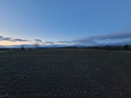
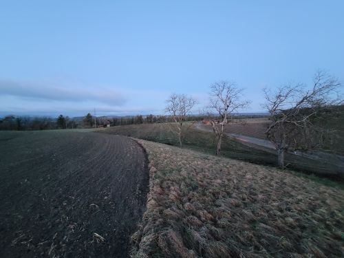
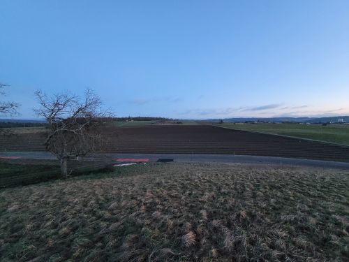
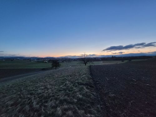
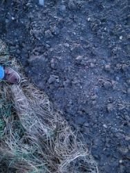
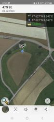
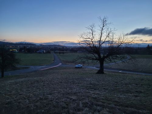
As planned, I drove as close to the coordinates as possible this morning. Already on the way I realized that I had forgotten to bring my hiking boots for the dirt... I was able to park the car in the destination area. After that it was just a short walk up the small hill. According to the aerial photo, I hoped in advance that the geohash would be outside a field. And fortunately it was that way! The zero point was exactly at the transition from the meadow to the field. So there were no dirty shoes, hurray!
The atmosphere in this quiet spot was wonderful. Just above zero degrees and also because the dawn was waiting for the sun to slowly appear. Unfortunately I couldn't wait that long and had to go back to work.
Success!
Photos
Achievements
globescorer earned the Land geohash achievement
|

