Difference between revisions of "2024-03-15 -37 145"
(Created page with "{{meetup graticule|date=2024-03-15|lat=-37|lon=145}} ==Location== On a footpath in Doncaster, in Melbourne's east. ==Participants== *Stevage ==Expedition== =...") |
|||
| (2 intermediate revisions by 2 users not shown) | |||
| Line 64: | Line 64: | ||
<gallery heights="300px" mode="packed"> | <gallery heights="300px" mode="packed"> | ||
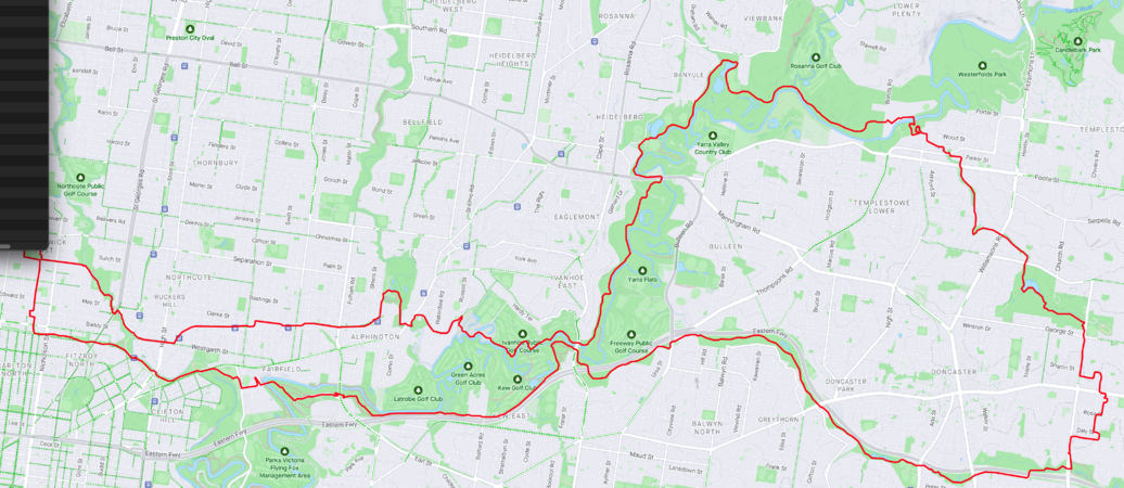
File:Screenshot 2024-03-15 at 5.02.32 pm.png|The route. | File:Screenshot 2024-03-15 at 5.02.32 pm.png|The route. | ||
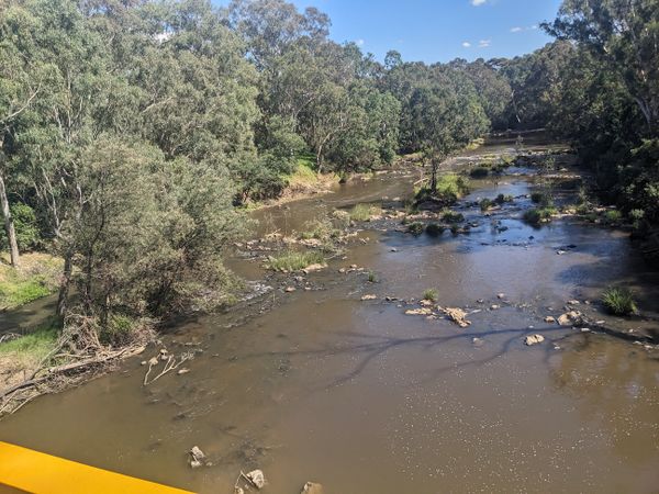
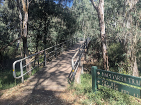
| − | File:PXL_20240315_051322074.jpg | + | File:PXL_20240315_051322074.jpg|Back at the south side of the Yarra footbridge, heading west this time. |
File:PXL_20240315_040610655.jpg | File:PXL_20240315_040610655.jpg | ||
File:PXL_20240315_040608453.jpg | File:PXL_20240315_040608453.jpg | ||
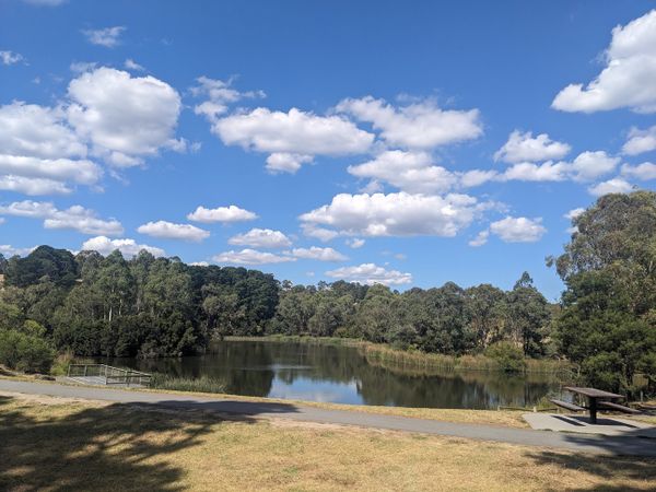
| − | File:PXL_20240315_035404193.jpg | + | File:PXL_20240315_035404193.jpg|Ruffy lake. No swimming here. |
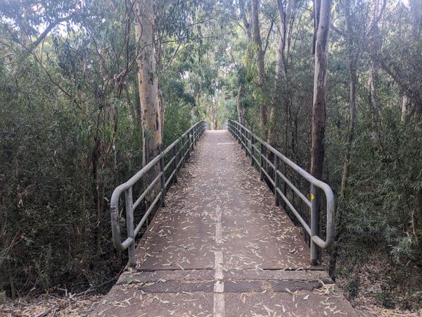
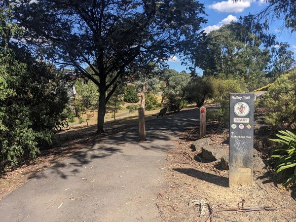
| − | File:PXL_20240315_034845809.jpg | + | File:PXL_20240315_034845809.jpg|The Ruffy Trail |
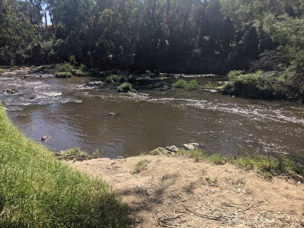
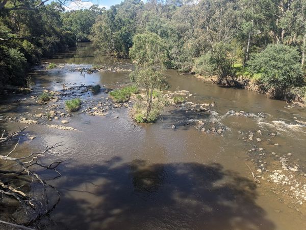
| − | File:PXL_20240315_032730601.jpg | + | File:PXL_20240315_032730601.jpg|Here I swam. |
File:PXL_20240315_032447150.jpg | File:PXL_20240315_032447150.jpg | ||
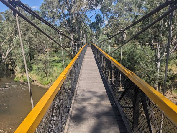
| − | File:PXL_20240315_032445394.jpg | + | File:PXL_20240315_032445394.jpg|Very long suspension bridge at Westerfolds park. I have seen a wombat on this bridge once. |
| − | File:PXL_20240315_032443459.jpg | + | File:PXL_20240315_032443459.jpg|Tempting spot for a swim. |
| − | File:PXL_20240315_025351093.jpg | + | File:PXL_20240315_025351093.jpg|North side of the Yarra footbridge, heading east. |
</gallery> | </gallery> | ||
| Line 85: | Line 85: | ||
| possessive = their | | possessive = their | ||
| name = Stevage | | name = Stevage | ||
| + | | tracklog=https://geohashing.site/geohashing/File:Screenshot_2024-03-15_at_5.02.32_pm.png | ||
}} | }} | ||
| Line 91: | Line 92: | ||
[[Category:Coordinates reached]] | [[Category:Coordinates reached]] | ||
[[Category:Expeditions with photos]] | [[Category:Expeditions with photos]] | ||
| + | {{location|AU|VIC|MN}} | ||
Latest revision as of 02:27, 20 March 2024
| Fri 15 Mar 2024 in -37,145: -37.7855395, 145.1460467 geohashing.info google osm bing/os kml crox |
Location
On a footpath in Doncaster, in Melbourne's east.
Participants
Expedition
Before
I didn't even consider not going for this hash, from the moment I saw it. Yet another footpath hash, in comfortable riding distance, on a day when I didn't have too much else on. The only question was - what route?
The recent Heide hash had led me to a better way to get to the Main Yarra Trail, avoiding the awful bit right on the side of the Eastern Freeway. Following that train of thought through a couple of connecting trains led me to the idea of a loop: out along the Hurstbridge Shimmy and Sparks Reserve Trail to the Main Yarra Trail and Ruffy Creek Trail to the hash, then back along the Koonung Creek Trail and a different bit of Main Yarra Trail and Capital City Trail, and Brunswick Shimmy to get home.
But...could it be a Tron Achievement?
For the unfamiliar, a Tron achivement requires travelling in a path that never intersects itself. The page gives several examples of limitations this imposes, almost all of which I had to deal with:
- you cannot go over the same footbridge on both the way to the hash and the way back
- there is a point in the very middle of my route where I pass to the north of a footbridge on the way out, and to the south of the same footbridge on the way back
- you cannot go into any dead-end streets and back out of them again (even accidentally)
- I didn't need to enter any, but I did at one point have to U-turn very carefully on a bike path.
- you cannot go over bridges (and highway exits etc.) that put loops into your tracklog if it is drawn on a flat map
- This nearly caught me out several times. There are three points I would naturally follow the bike path around a self-intersecting loop. Each time I would have to carefully take a slightly different path, avoiding the tunnel bit.
- you have to pass through the hashpoint (optionally stop to take pictures and such) and continue, but can't go back the same way
- I carefully planned the route through Daphne St to avoid back-tracking.
- when you get back, you have to approach your home from the opposite end of the road.
- This turned out to be quite weird and fun, forcing me to ride on a street close to my house that I absolutely never use.
During
I took off just after lunch time, giving a new pair of bike shoes their first real outing. I had thoughts of going hard, working up a real sweat, but the warm temperature immediately put a patronising hand on my arm, and whispered in my ear, "take your time, grasshopper, today is not a day for rushing".
So it became a long pootle in the pleasant sun. I almost ruined my Tron very early by going under St Georges Rd on the bike path (which would lead to a loop) before I abruptly and very carefully U-turned to climb up the very steep ramp onto the road.
Out along Westgarth St and the Hurstbridge Shimmy, and out along the Main Yarra Trail just like on Heide Hash day, but with more light. I became daydreamy, letting thoughts waft in and out, and not worrying about setting a pace.
At Westerfolds Park, it was time to cross the giant suspension bridge. As soon as I saw the river, an unstoppable urge to jump in struck me. I couldn't remember the exact Tron rules but I decided it only applied to my bike and not to me, so I'd just carefully park my bike and go and get wet. (It turns out that basically is the rule).
There were too many people around for a skinny dip, so I did the next best thing and kept all my clothes on except my shoes and socks. I doggy paddled around the little rapids for a while, thoroughly cooling off. A couple standing by paid me exactly zero notice.
Back on bike, and I made a very complicated non-self-intersecting track through the park to regain my intended route.
The Ruffy Creek Track was a really interesting little trail I'm not very familiar with. I think Talex took some of us down it once on a different expedition?
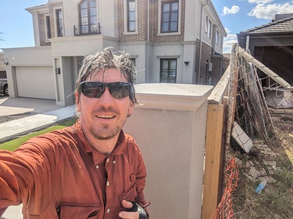
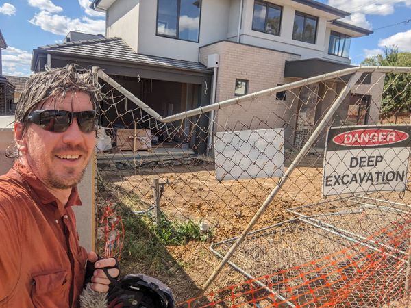
Eventually, through the backstreets of Doncaster I found the hash. Curiously it seemed to be exactly at the intersection of two houses and the footpath. One of the houses was still being built, and the other one was experiencing some major landscaping, and they both seemed pretty happy for some random company.
I pushed on, forwards of course, now realising happily that my path was about to take me past some cafes. One snack led to another, but eventually I was zooming down a hill to the Koonung Creek Trail.
Again my mind wandered delightfully. I didn't feel like a podcast, or anything really, just enjoying the sun and the bush and a few bird calls.
Passing the other end of the footbridge that connects the Main Yarra Trail with the Koonung Creek Trail, I stopped for another photo to commemorate having been "just over there".
At Chandler Highway I had a few conniptions to make sure in my mind that the route under the bridge and up onto it would never actually cross itself.
At Heidelberg Road, instead of looping down to get onto the Merri Creek Trail, I took the other path parallel with the road, stopping briefly to help another cyclist who was trying to get to the Terminus Hotel. She was basically in the right spot, but yeah, it's incredibly complicated trying to figure out which bit of bike path will actually get you there, without leaving you stuck on the wrong side of Hoddle St and/or train line and/or Merri Creek. I don't think I helped much, but gave her encouragement.
The final delicate moment was coming up John St to Albert St. I had already passed through this intersection from the park, but was careful to keep well away from my previous path. Then I took the unconventional route around the park and up Blyth St to get home the wrong way.
Photos
Achievements
Stevage earned the Bicycle geohash achievement
|
Stevage earned the Tron achievement
|
