Difference between revisions of "2024-05-14 52 7"
From Geohashing
(new report) |
(last man standing) |
||
| Line 28: | Line 28: | ||
{{#vardefine:ribbonwidth|100%}} | {{#vardefine:ribbonwidth|100%}} | ||
{{land geohash|date=2024-05-14|latitude=52|longitude=7|name=[[User:Fippe|Fippe]]|image=2024-05-14 52 7 02 Geohash.jpg}} | {{land geohash|date=2024-05-14|latitude=52|longitude=7|name=[[User:Fippe|Fippe]]|image=2024-05-14 52 7 02 Geohash.jpg}} | ||
| + | {{last man standing|date=2024-05-14|latitude=52|longitude=7|name=[[User:Fippe|Fippe]]}} | ||
__NOTOC__ | __NOTOC__ | ||
Latest revision as of 23:00, 14 June 2024
| Tue 14 May 2024 in 52,7: 52.4517839, 7.9438514 geohashing.info google osm bing/os kml crox |
Location
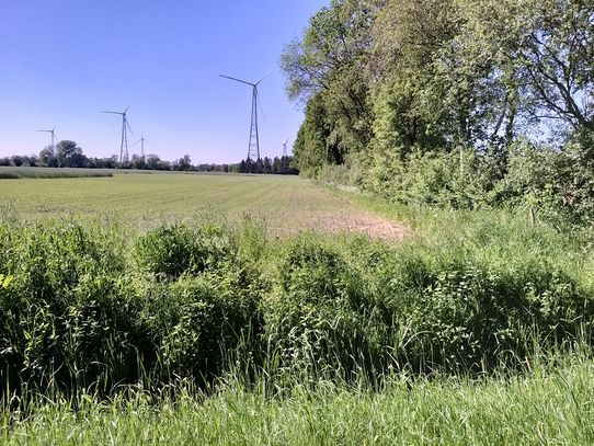
This Geohash is located on a field in Hesepe.
Participants
Expedition
In the afternoon, I took the train to Hesepe and walked the rest of the distance.
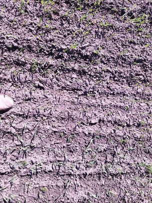
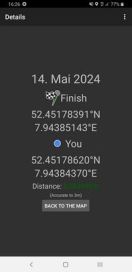
The coordinates were on a field, and to get to them I jumped over a creek. Once I was on the right side, I could locate the coordinates and record proof.
Afterwards, I walked back to the station and took the train back home to Osnabrück.
Photos
Tracklog
Ribbons
Fippe earned the Land geohash achievement
|
Fippe earned the Last man standing achievement
|


