Difference between revisions of "2024-08-12 47 8"
From Geohashing
Globescorer (talk | contribs) (→Expedition / Photos) |
Globescorer (talk | contribs) (→Achievements) |
||
| (One intermediate revision by one other user not shown) | |||
| Line 32: | Line 32: | ||
{{#vardefine:ribbonwidth|100%}} | {{#vardefine:ribbonwidth|100%}} | ||
{{land geohash|date=2024-08-12|latitude=47|longitude=8|name=[[User:globescorer|globescorer]]|image=2024-08-12 47 8 The Geohash.jpg}} | {{land geohash|date=2024-08-12|latitude=47|longitude=8|name=[[User:globescorer|globescorer]]|image=2024-08-12 47 8 The Geohash.jpg}} | ||
| + | {{Speedrun achievement | ||
| + | | latitude = 47 | ||
| + | | longitude = 8 | ||
| + | | date = 2024-08-12 | ||
| + | | minutes = 55 | ||
| + | | name = [[User:globescorer|globescorer]] | ||
| + | }} | ||
| + | |||
| + | __NOTOC__ | ||
| + | [[Category:Expeditions]] | ||
| + | [[Category:Expeditions with photos]] | ||
| + | [[Category:Coordinates reached]] | ||
{{location|CH|ZH}} | {{location|CH|ZH}} | ||
Latest revision as of 08:07, 27 September 2024
| Mon 12 Aug 2024 in 47,8: 47.4553792, 8.4902458 geohashing.info google osm bing/os kml crox |
Location
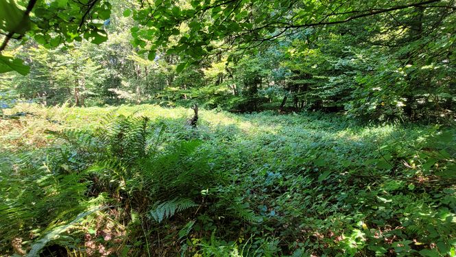
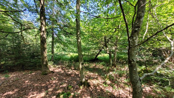
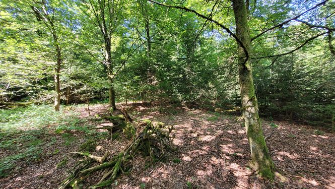
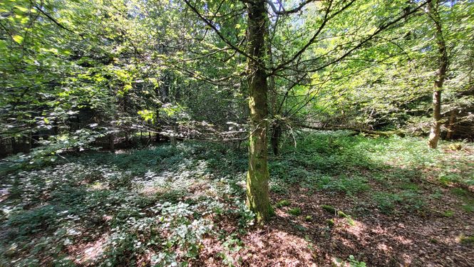
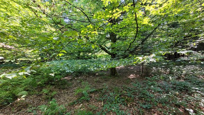
This Geohash is located in the municipality-of-Regensdorf-part of the forest.
Participants
Plans
going there in my lunchtime.
Expedition / Photos
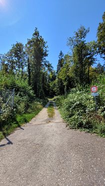
Way to go 1

Way to go 2
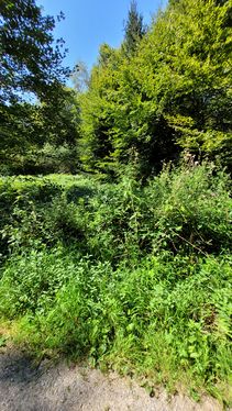
Not this way...
...better this way!
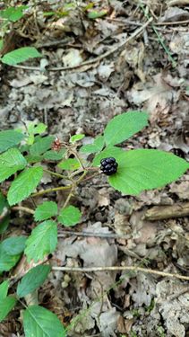
I like this cute blackberry...
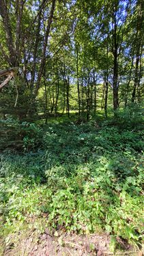
... but I don't like blackberries everywhere!...
the geohash
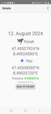
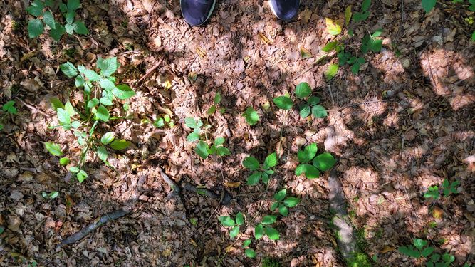
The proof 1
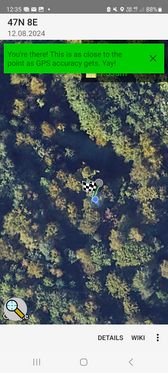
The proof 2
north
west
south
east


Achievements
globescorer earned the Land geohash achievement
|
globescorer earned the Speedrun achievement
|