Difference between revisions of "2024-09-03 47 8"
Globescorer (talk | contribs) (→Expedition / Photos) |
Globescorer (talk | contribs) (→Achievements) |
||
| (9 intermediate revisions by 3 users not shown) | |||
| Line 9: | Line 9: | ||
going there in my free afternoon. | going there in my free afternoon. | ||
| − | == Expedition | + | == Expedition == |
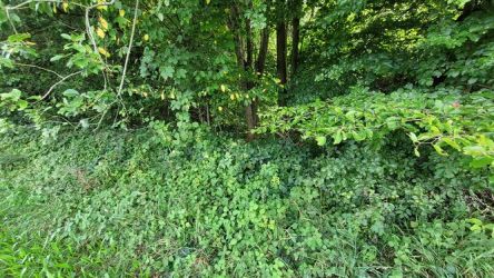
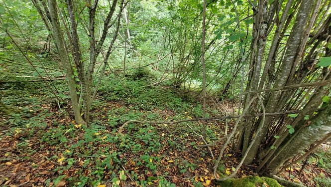
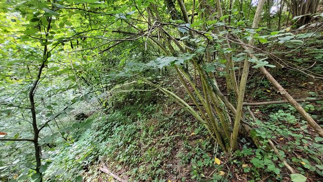
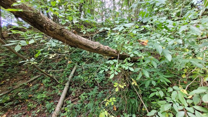
| + | So I drove to the “Hinterhalingen” farm and looked for a suitable parking space to park my motorcycle. Then I walked towards the edge of the forest in cloudy but warm weather, where I had to fight my way into the thicket. The ground in the forest was sloping - the “Töbelibach” must be somewhere down there. ("Töbeli" is the diminutive of "Tobel", which translates to small ravine. And "Bach" is a stream) That's why the steep slope :-) | ||
| + | |||
| + | When I arrived at the geohash, I was able to identify my position very well. I was lucky enough to be in exactly the right place at just 5.6cm! No big hashdance was necessary. | ||
| + | |||
| + | On the way back I discovered a large hole in a tree trunk. A family of foxes probably lived there. Then I made my way back. | ||
| + | |||
| + | == Photos == | ||
<gallery mode="packed" heights="250px"> | <gallery mode="packed" heights="250px"> | ||
| Line 20: | Line 27: | ||
File:2024-09-03 47 8 proof 2.jpg|The proof 2 | File:2024-09-03 47 8 proof 2.jpg|The proof 2 | ||
File:2024-09-03 47 8 north.jpg|north | File:2024-09-03 47 8 north.jpg|north | ||
| − | File:2024-09-03 47 8 west.jpg|west | + | File:2024-09-03 47 8 west.jpg|west - somewhere down there is a stream |
File:2024-09-03 47 8 south.jpg|south | File:2024-09-03 47 8 south.jpg|south | ||
File:2024-09-03 47 8 east.jpg|east | File:2024-09-03 47 8 east.jpg|east | ||
File:2024-09-03 47 8 hole.jpg|A hole in a trunk - maybe a fox family | File:2024-09-03 47 8 hole.jpg|A hole in a trunk - maybe a fox family | ||
| − | File:2024-09-03 47 8 farm.jpg|the farm " | + | File:2024-09-03 47 8 farm.jpg|the farm "Hinterhalingen" on the way back where behind is my motorcycle parked. |
</gallery> | </gallery> | ||
| Line 31: | Line 38: | ||
{{#vardefine:ribbonwidth|100%}} | {{#vardefine:ribbonwidth|100%}} | ||
{{land geohash|date=2024-09-03|latitude=47|longitude=8|name=[[User:globescorer|globescorer]]|image=2024-09-03 47 8 The Geohash.jpg}} | {{land geohash|date=2024-09-03|latitude=47|longitude=8|name=[[User:globescorer|globescorer]]|image=2024-09-03 47 8 The Geohash.jpg}} | ||
| + | |||
| + | |||
| + | [[Category:Expeditions]] | ||
| + | [[Category:Expeditions with photos]] | ||
| + | [[Category:Coordinates reached]] | ||
| + | {{location|CH|TG}} | ||
Latest revision as of 06:02, 13 September 2024
| Tue 3 Sep 2024 in 47,8: 47.5313815, 8.9338003 geohashing.info google osm bing/os kml crox |
Location
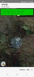
This Geohash is located in a forest in the municipality Matzingen.
Participants
Plans
going there in my free afternoon.
Expedition
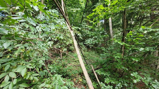
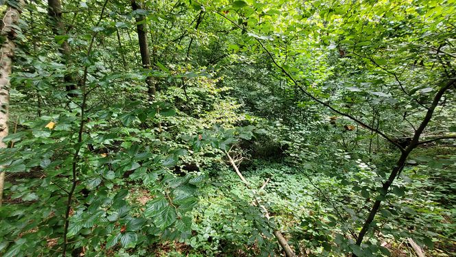
So I drove to the “Hinterhalingen” farm and looked for a suitable parking space to park my motorcycle. Then I walked towards the edge of the forest in cloudy but warm weather, where I had to fight my way into the thicket. The ground in the forest was sloping - the “Töbelibach” must be somewhere down there. ("Töbeli" is the diminutive of "Tobel", which translates to small ravine. And "Bach" is a stream) That's why the steep slope :-)
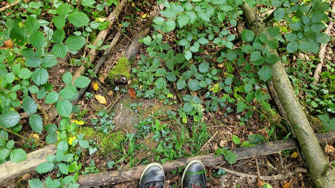
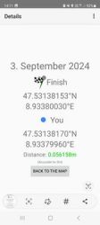
When I arrived at the geohash, I was able to identify my position very well. I was lucky enough to be in exactly the right place at just 5.6cm! No big hashdance was necessary.
On the way back I discovered a large hole in a tree trunk. A family of foxes probably lived there. Then I made my way back.
Photos
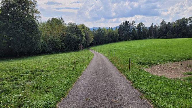
Way to go 1
Entering the forest
Way to go 3
the geohash
The proof 1
The proof 2
north
west - somewhere down there is a stream
south
east
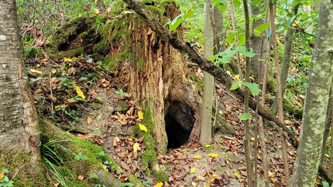
A hole in a trunk - maybe a fox family
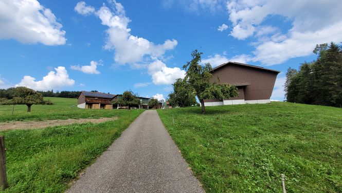
the farm "Hinterhalingen" on the way back where behind is my motorcycle parked.


Achievements
globescorer earned the Land geohash achievement
|