Difference between revisions of "2024-10-11 49 8"
(Report. Pictures next week or so) |
m |
||
| (One intermediate revision by one other user not shown) | |||
| Line 16: | Line 16: | ||
===[[User:Danatar|Danatar]]=== | ===[[User:Danatar|Danatar]]=== | ||
| − | I was on my way from work to a wind band rehearsal. The spot was not too far out of my way. i left Karlsruhe and drove across the Rhine, then along a federal road towards the north. Past Jockgrim, I left that road and took a small country road until I finally left the car. I walked a bit along the road, then through some grasses and along a maize field. The spot was in the muddy part of an empty field. I walked across the part that still had some maize stalks, but I didn't want to get my shoes muddy, so I stopped | + | I was on my way from work to a wind band rehearsal. The spot was not too far out of my way. i left Karlsruhe and drove across the Rhine, then along a federal road towards the north. Past Jockgrim, I left that road and took a small country road until I finally left the car. I walked a bit along the road, then through some grasses and along a maize field. The spot was in the muddy part of an empty field. I walked across the part that still had some maize stalks, but I didn't want to get my shoes muddy, so I stopped 6 meters from the spot. I took some pictures, walked back to the car and continued on my way. |
{{gallery|width=200|height=200|lines=2 | {{gallery|width=200|height=200|lines=2 | ||
| Line 22: | Line 22: | ||
|Image:2024-10-11_49_8_weg2.jpg| | |Image:2024-10-11_49_8_weg2.jpg| | ||
|Image:2024-10-11_49_8_near.jpg|almost there | |Image:2024-10-11_49_8_near.jpg|almost there | ||
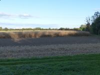
| + | |Image:2024-10-11_49_8_feld.jpg|I still went here | ||
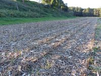
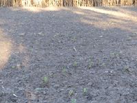
| + | |Image:2024-10-11_49_8_spot.jpg|the spot, very muddy | ||
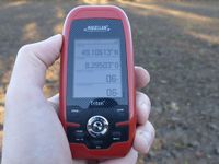
|Image:2024-10-11_49_8_gps.jpg|GPS a few meters from the spot | |Image:2024-10-11_49_8_gps.jpg|GPS a few meters from the spot | ||
| − | |||
|Image:2024-10-11_49_8_hp.jpg| | |Image:2024-10-11_49_8_hp.jpg| | ||
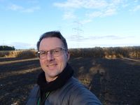
| − | |Image:2024-10-11_49_8_pano.jpg|panorama | + | |Image:2024-10-11_49_8_pano.jpg|panorama |
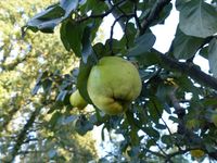
|Image:2024-10-11_49_8_quitte.jpg|quice tree | |Image:2024-10-11_49_8_quitte.jpg|quice tree | ||
}} | }} | ||
| Line 31: | Line 32: | ||
===tracklog=== | ===tracklog=== | ||
| + | <!-- | ||
{{tracklog | willfollow.gpx}} | {{tracklog | willfollow.gpx}} | ||
| − | + | --> | |
[[Category:Expeditions]] | [[Category:Expeditions]] | ||
Latest revision as of 10:57, 14 October 2024
| Fri 11 Oct 2024 in Mannheim: 49.1061314, 8.2951224 geohashing.info google osm bing/os kml crox |
Location
Today's location is in an empty field near the Otterbach creek near Rheinzabern, not far from the Jockgrim sewage plant.
Country: Germany; state: Rheinland-Pfalz (EU:DE:RP); district: Germersheim; municipality Rheinzabern
Expedition
Danatar
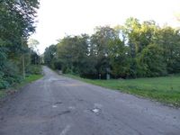
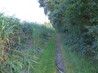
I was on my way from work to a wind band rehearsal. The spot was not too far out of my way. i left Karlsruhe and drove across the Rhine, then along a federal road towards the north. Past Jockgrim, I left that road and took a small country road until I finally left the car. I walked a bit along the road, then through some grasses and along a maize field. The spot was in the muddy part of an empty field. I walked across the part that still had some maize stalks, but I didn't want to get my shoes muddy, so I stopped 6 meters from the spot. I took some pictures, walked back to the car and continued on my way.
|
