Difference between revisions of "2008-08-17 -35 149"
From Geohashing
imported>Nemo (new photo from nemo) |
imported>FippeBot m (Location) |
||
| Line 50: | Line 50: | ||
[[Category:Coordinates reached]] | [[Category:Coordinates reached]] | ||
[[Category:Meetup on 2008-08-17]] | [[Category:Meetup on 2008-08-17]] | ||
| + | {{location|AU|ACT}} | ||
Revision as of 06:32, 7 August 2019
| Sun 17 Aug 2008 in -35,149: -35.3047357, 149.0104490 geohashing.info google osm bing/os kml crox |
A Canberra Geohash in several easy steps
- Llandorin and Deb park at the nearest spot to the hashpoint
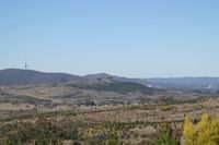
- Geohash point is on the northern slopes of Mt Stromlo
- Nemo arrives a minute later
- He had been investigating the inability to drive to the roads on the other side of the bardwire fences
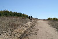
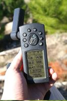
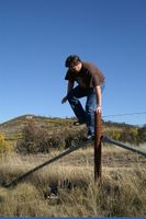
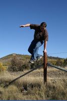
- The three of them trek over a barbwire fence and to a dirt road which is reckoned by dodgy phone GPS as the point.
- Yay Nokia
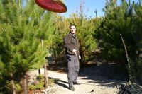
- Psud arrives with superior GPS-fu, and leads another 50 to a mountain bike trail through the edge of the pine trees, and this indeed WAS the geohash point.
- This was more in line with what google maps thought too
- Despite being on a bike trail, we did NOT achieve a bicycle geohash, nor were we run over by bicycles
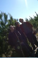
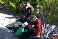
- Picnic and photos taken
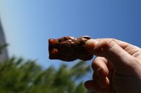
- Gastronomical discovery of the picnic: Liquorice and salsa. Taste to your own imagination and/or experimentation.
- No robo-camera though
- ???
- But seriously, ???
- PROFIT!!!
- We will try not to spend it all on beer and hookers. Honestly.
Photos
- The hash
