Difference between revisions of "2009-01-01 36 -75"
From Geohashing
imported>Ncbears |
imported>Ncbears |
||
| Line 45: | Line 45: | ||
[[Category:Expeditions with photos]] | [[Category:Expeditions with photos]] | ||
[[Category:Coordinates reached]] | [[Category:Coordinates reached]] | ||
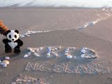
| + | [[Category:Hash collision achievement]] | ||
| + | [[Category:Sunrise geohash achievement]] | ||
| + | [[Category:Frozen geohash achievement]] | ||
| + | [[Category:Formal_Attire_geohash_achievement]] | ||
Revision as of 22:27, 1 January 2009
| Thu 1 Jan 2009 in 36,-75: 36.3784381, -75.8331568 geohashing.info google osm bing/os kml crox |
Report
Bear and Eisen
Geological Features
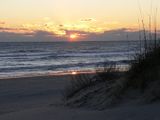
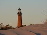
NC Outerbanks at Corolla. Sand dunes and beach on Atlantic side with swampy areas facing Currituck Sound. Geohash was in frozen marsh area behind vacant lot in the Corolla township, 0.3 km NW from the Currituck Beach Lighthouse. Location was amongst cedars, virginia creeper, and Raptor Traps (briars).
Wildlife Encounters
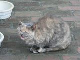
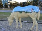
Whitetail deer, weasle, domestic cats, goat, horse, sparrows, Harrier hawk, Seagulls, Blue Herron, and Swan. As we approached the Geohash, we scared either a large Whitetailed buck or one of the many wild horses that live in the area.
Weather
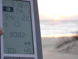
Low 30.1°F/-1.0°C, clear skies, 10-20mph/16-32kph wind

