Difference between revisions of "2009-04-17 50 10"
imported>Reinhard m |
imported>Reinhard |
||
| Line 6: | Line 6: | ||
}} | }} | ||
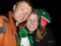
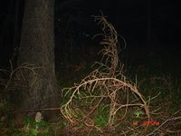
| − | + | On our way home we accepted a small detour to Neuhof on a wet Friday evening. It was raining the whole day, but stopped before we wanted to have a little walk from Neuhof to the hashpoint located somewhere nearby in the forest. We parked at a farm (a lot of horses in their stables, dreadful stink and a friendly dog) when it was already pitch-dark. With the help of the topographic map on my Garmin we looked for the track that would lead us closest to the hashpoint. Looked like no one used those tracks for years, so they were hard to make out. After not much more than 1 km stumbling around we had to leave that what according to our map was a track and had to climb down a steep and slippery hillside with a lot of branches on the ground. This went on for about 100 m until we finally found the hashpoint - drifting a bit on our GPS devices due to the bad satellite reception. | |
| + | |||
| + | On our way back we took a small shortcut across a meadow that helped making our feet even wetter. Probably our expedition would had been much fun if it would have taken place on a sunny day, but so it wasn't much more than an inevitable excursion for [[user:Manu|Manu]]'s 8th and my 7th [[Consecutive_geohash_achievement|consecutive geohash]]. | ||
---[[User:Reinhard|Reinhard]] | ---[[User:Reinhard|Reinhard]] | ||
Revision as of 20:39, 18 April 2009
| Fri 17 Apr 2009 in 50,10: 50.5152987, 10.6611671 geohashing.info google osm bing/os kml crox |
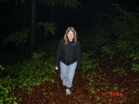
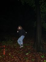
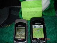
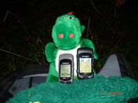
On our way home we accepted a small detour to Neuhof on a wet Friday evening. It was raining the whole day, but stopped before we wanted to have a little walk from Neuhof to the hashpoint located somewhere nearby in the forest. We parked at a farm (a lot of horses in their stables, dreadful stink and a friendly dog) when it was already pitch-dark. With the help of the topographic map on my Garmin we looked for the track that would lead us closest to the hashpoint. Looked like no one used those tracks for years, so they were hard to make out. After not much more than 1 km stumbling around we had to leave that what according to our map was a track and had to climb down a steep and slippery hillside with a lot of branches on the ground. This went on for about 100 m until we finally found the hashpoint - drifting a bit on our GPS devices due to the bad satellite reception.
On our way back we took a small shortcut across a meadow that helped making our feet even wetter. Probably our expedition would had been much fun if it would have taken place on a sunny day, but so it wasn't much more than an inevitable excursion for Manu's 8th and my 7th consecutive geohash.
---Reinhard
- Photo Gallery
