Difference between revisions of "2009-06-24 33 -84"
From Geohashing
imported>NWoodruff m (→Gallery) |
imported>NWoodruff m (→Gallery) |
||
| Line 27: | Line 27: | ||
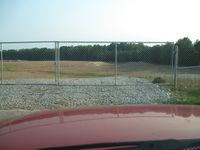
Image:2009062433-84NW01.JPG| Google maps sent me down a road that is now blocked from public access. I was now on my own to find the hash location with out any map. | Image:2009062433-84NW01.JPG| Google maps sent me down a road that is now blocked from public access. I was now on my own to find the hash location with out any map. | ||
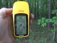
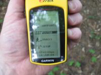
Image:2009062433-84NW02.JPG| From where I parked, there was 156 feet to go into the woods. | Image:2009062433-84NW02.JPG| From where I parked, there was 156 feet to go into the woods. | ||
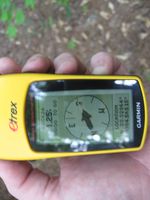
| − | Image:2009062433-84NW03.JPG| | + | Image:2009062433-84NW03.JPG| 1.25 feet to go. Close enough. |
Image:2009062433-84NW04.JPG| | Image:2009062433-84NW04.JPG| | ||
Image:2009062433-84NW05.JPG| | Image:2009062433-84NW05.JPG| | ||
Revision as of 14:37, 25 June 2009
| Wed 24 Jun 2009 in Atlanta: 33.3286410, -84.5651450 geohashing.info google osm bing/os kml crox |
Graticule
About
Expedition
NWoodruff
Google maps sent me down a street that was no longer a street. I had to find my own way to the hash point.
Gallery
- Photo Gallery
- 2009062433-84NW06.JPG
Achievements
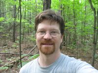
NWoodruff earned the Land geohash achievement
|
