Difference between revisions of "2009-08-16 50 11"
From Geohashing
imported>Reinhard m (code) |
imported>FippeBot m (Location) |
||
| Line 22: | Line 22: | ||
[[Category:Expeditions with photos]] | [[Category:Expeditions with photos]] | ||
[[Category:Coordinates reached]] | [[Category:Coordinates reached]] | ||
| + | {{location|DE|TH|SHK}} | ||
Latest revision as of 05:13, 8 August 2019
| Sun 16 Aug 2009 in 50,11: 50.8929070, 11.8161114 geohashing.info google osm bing/os kml crox |
Participants
Expedition
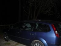
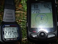
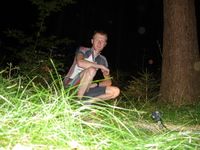
Reinhard came back late from Fürth, where he spent the weekend, but couldn't miss the Sunday geohash, which was again close to the Hermsdorfer Kreuz (A4/A9). This time, Reinhard had already left the motorway at the usual exit Bad Klosterlausnitz and only had to drive a detour of 3 km to get to the closest place to park the car for a quick night geohash. It was really dark and the hash was in a forest, so Reinhard took his bright bike headlight with him. With the help of his topographic electronic map he quickly found the probably-very-nice-at-daylight forest path and went about 350 m until he had to leave it to the left for about 50 m to find the hashpoint. There it was, in the dark forest, quite easy to reach.
- Photo Gallery


