Difference between revisions of "2009-09-08 41 -71"
From Geohashing
imported>Manu m (expedition page) |
imported>Reinhard (gallery) |
||
| Line 9: | Line 9: | ||
| − | <gallery caption="Photo Gallery" widths="200px" heights="200px" perrow=" | + | <gallery caption="Photo Gallery" widths="200px" heights="200px" perrow="4"> |
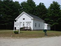
| − | Image:20090908-41N71W-01.jpg| | + | Image:20090908-41N71W-01.jpg|The place where we parked. |
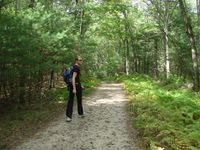
| + | Image:20090908-41N71W-02.jpg|Reinhard walking. | ||
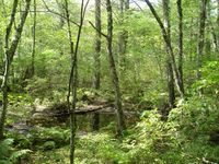
| + | Image:20090908-41N71W-03.jpg|Nice pond. | ||
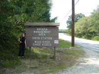
| + | Image:20090908-41N71W-04.jpg|Arcadia sign. | ||
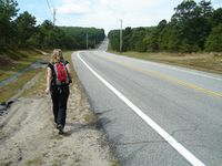
| + | Image:20090908-41N71W-05.jpg|Manu walking along the road. | ||
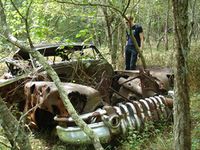
| + | Image:20090908-41N71W-06.jpg|Should we collect some geotrash? | ||
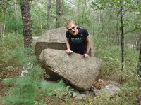
| + | Image:20090908-41N71W-07.jpg|Reinhard was seriously injured by this raptor rock. | ||
| + | Image:20090908-41N71W-08.jpg|Manu getting closer to the hashpoint. | ||
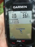
| + | Image:20090908-41N71W-09.jpg|Coordinates reached! | ||
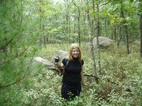
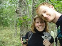
| + | Image:20090908-41N71W-10.jpg|Manu, Wischi and Reinhard at their globetrotter geohash. | ||
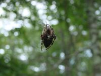
| + | Image:20090908-41N71W-11.jpg|Big spider. | ||
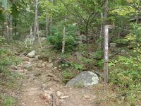
| + | Image:20090908-41N71W-12.jpg|Mt Tom Trail. | ||
</gallery> | </gallery> | ||
Revision as of 15:20, 11 September 2009
| Tue 8 Sep 2009 in 41,-71: 41.5758507, -71.7359792 geohashing.info google osm bing/os kml crox |
Manu and Reinhard found the geohash near Mt Tom trail.
- Photo Gallery
