Difference between revisions of "2009-10-02 34 -84"
From Geohashing
(→Gallery) |
imported>NWoodruff (→Gallery) |
||
| Line 27: | Line 27: | ||
== Gallery == | == Gallery == | ||
<gallery caption="Photo Gallery" widths="200px" heights="200px" perrow="3"> | <gallery caption="Photo Gallery" widths="200px" heights="200px" perrow="3"> | ||
| − | Image:200921002_34_-84NW01.JPG| | + | Image:200921002_34_-84NW01.JPG| 380 feet to go from the curb. |
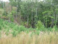
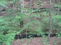
| − | Image:200921002_34_-84NW02.JPG| | + | Image:200921002_34_-84NW02.JPG| Down in a steep valley. |
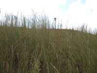
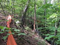
| − | Image:200921002_34_-84NW03.JPG| | + | Image:200921002_34_-84NW03.JPG| Looking back up from where I just climbed down. |
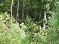
| − | Image:200921002_34_-84NW04.JPG| | + | Image:200921002_34_-84NW04.JPG| Still more to climb down. |
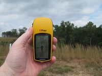
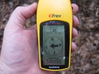
| − | Image:200921002_34_-84NW05.JPG| | + | Image:200921002_34_-84NW05.JPG| 1.25 feet to go. Close enough. |
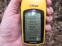
| − | Image:200921002_34_-84NW06.JPG| | + | Image:200921002_34_-84NW06.JPG| Time of the meetup. |
| − | Image:200921002_34_-84NW07.JPG| | + | Image:200921002_34_-84NW07.JPG| Date of the meetup. |
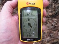
| − | Image:200921002_34_-84NW08.JPG| | + | Image:200921002_34_-84NW08.JPG| 830 feet, near the bottom of the hill. |
| − | Image:200921002_34_-84NW09.JPG| | + | Image:200921002_34_-84NW09.JPG| There is still another 30 feet to go down. Picture is taken from standing at the hash point. |
| − | Image:200921002_34_-84NW10.JPG| | + | Image:200921002_34_-84NW10.JPG| Another picture from the hash point. |
| − | Image:200921002_34_-84NW11.JPG| | + | Image:200921002_34_-84NW11.JPG| A picture from the direction I came from. |
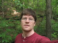
| − | Image:200921002_34_-84NW12.JPG| | + | Image:200921002_34_-84NW12.JPG| Me at the hash point. Oh my am I butt ugly. |
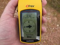
| − | Image:200921002_34_-84NW13.JPG| | + | Image:200921002_34_-84NW13.JPG| 886 feet at the top of the hill. A rise of 56 feet at 215 feet away. Okay basic geometer, what is the slope of the hill??? |
| − | Image:200921002_34_-84NW14.JPG| | + | Image:200921002_34_-84NW14.JPG| A view from the top of the hill I was on 215 feet way. |
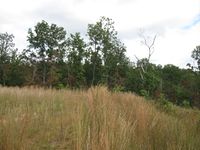
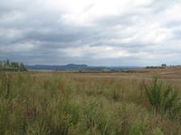
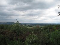
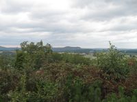
| − | Image:200921002_34_-84NW15.JPG| | + | Image:200921002_34_-84NW15.JPG| A beautiful view of the north Georgia mountains. Hey look, there is a higher hill to the right. |
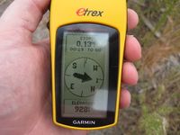
| − | Image:200921002_34_-84NW16.JPG| | + | Image:200921002_34_-84NW16.JPG| At 0.13 miles from the hash point, 928 feet above sea level. |
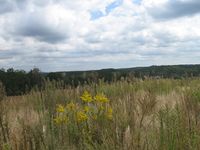
| − | Image:200921002_34_-84NW17.JPG| | + | Image:200921002_34_-84NW17.JPG| Another stunning view of the north Georgia skyline. |
| − | Image:200921002_34_-84NW18.JPG| | + | Image:200921002_34_-84NW18.JPG| Looking back at the Geohash point, 0.13 miles away. |
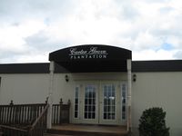
| − | Image:200921002_34_-84NW19.JPG| | + | Image:200921002_34_-84NW19.JPG| The sales office of the subdivision. |
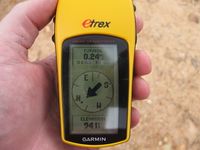
| − | Image:200921002_34_-84NW20.JPG| | + | Image:200921002_34_-84NW20.JPG| The highest point in the area at 941 feet above sea level 0.24 miles away from the Geohash spot. |
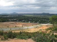
| − | Image:200921002_34_-84NW21.JPG| | + | Image:200921002_34_-84NW21.JPG| Now is that a view??? |
| − | Image:200921002_34_-84NW22.JPG| | + | Image:200921002_34_-84NW22.JPG| Another amazing view. |
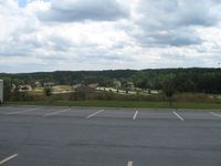
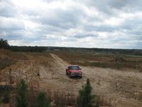
| − | Image:200921002_34_-84NW23.JPG| | + | Image:200921002_34_-84NW23.JPG| Where I parked my truck with the sales office in the back ground. |
| − | Image:200921002_34_-84NW24.JPG| | + | Image:200921002_34_-84NW24.JPG| Looking down the hill to the main street entrance. |
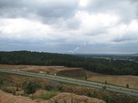
| − | Image:200921002_34_-84NW25.JPG| | + | Image:200921002_34_-84NW25.JPG| If you zoom to 100% of the picture you can see that Georgia is Nuclear powered. |
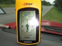
| − | Image:200921002_34_-84NW26.JPG| | + | Image:200921002_34_-84NW26.JPG| Down at the main entrance, 696 feet above sea level. The look out point is 250 feet higher. |
| − | |||
| − | |||
| − | |||
| − | |||
</gallery> | </gallery> | ||
Revision as of 19:18, 4 October 2009
| Fri 2 Oct 2009 in Roswell: 34.1100041, -84.8175096 geohashing.info google osm bing/os kml crox |
Graticule
About
Near Cartersville Georgia, down in a steep valley. Some of the most beautiful scenery that you will ever see in Georgia.
People
Expeditions
Gallery
- Photo Gallery
Achievements
NWoodruff earned the Land geohash achievement
|
