imported>NWoodruff |
imported>FippeBot |
| Line 63: |
Line 63: |
| | [[Category:Coordinates reached]] | | [[Category:Coordinates reached]] |
| | [[Category:Expeditions with photos]] | | [[Category:Expeditions with photos]] |
| | + | {{location|US|GA|BT}} |
Revision as of 06:06, 8 August 2019
Graticule
Roswell
About
Near Cartersville Georgia, down in a steep valley. Some of the most beautiful scenery that you will ever see in Georgia.
People
Expeditions
Gallery
- Photo Gallery
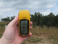
380 feet to go from the curb.
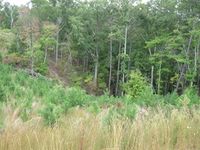
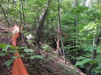
Looking back up from where I just climbed down.
Still more to climb down.
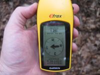
1.25 feet to go. Close enough.
830 feet, near the bottom of the hill.
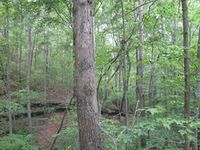
There is still another 30 feet to go down. Picture is taken from standing at the hash point.
Another picture from the hash point.
A picture from the direction I came from.
Me at the hash point. Oh my am I butt ugly.
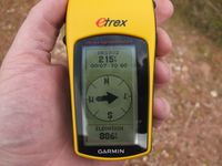
886 feet at the top of the hill. A rise of 56 feet at 215 feet away. Okay basic geometry, what is the slope of the hill???
A view from the top of the hill I was on 215 feet way.
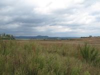
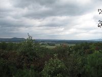
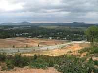
A beautiful view of the north Georgia mountains. Hey look, there is a higher hill to the right.
At 0.13 miles from the hash point, 928 feet above sea level.
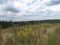
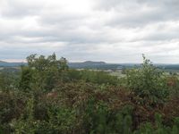
Another stunning view of the north Georgia skyline.
Looking back at the Geohash point, 0.13 miles away.
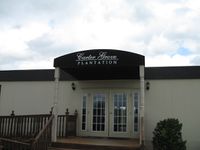
The sales office of the subdivision.
The highest point in the area at 941 feet above sea level 0.24 miles away from the Geohash spot.
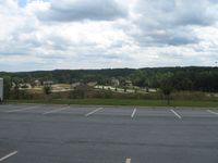
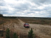
Where I parked my truck with the sales office in the back ground.
Looking down the hill to the main street entrance.
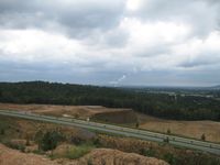
If you zoom to 100% of the picture you can see that Georgia is Nuclear powered.
Down at the main entrance, 696 feet above sea level. The look out point is 250 feet higher.
Achievements
