Difference between revisions of "2010-02-22 34 -84"
From Geohashing
imported>NWoodruff (Created page with '{{meetup graticule | map=<map lat="34" lon="-84" date="2010-02-22" /> | lat=34 | lon=-84 | date=2010-02-22 | graticule_name=Roswell | graticule_link=Roswell, Georgia }} == Grati…') |
imported>NWoodruff (→Gallery) |
||
| Line 26: | Line 26: | ||
== Gallery == | == Gallery == | ||
<gallery caption="Photo Gallery" widths="200px" heights="200px" perrow="3"> | <gallery caption="Photo Gallery" widths="200px" heights="200px" perrow="3"> | ||
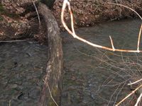
| − | Image:20100222_34_-84NW01.JPG| | + | Image:20100222_34_-84NW01.JPG| Hmmm... This stream isn't on Google Maps. Also I have to cross it and this is the only way to get across. |
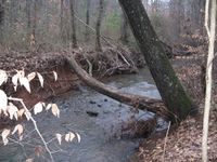
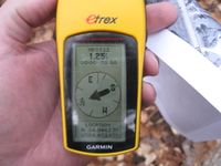
| + | Image:20100222_34_-84NW02.JPG| 219 feet to go. I have to cross the stream. | ||
| + | Image:20100222_34_-84NW03.JPG| Proof that I walked across it. | ||
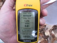
| + | Image:20100222_34_-84NW04.JPG| 1.25 feet to go. Close enough. | ||
| + | Image:20100222_34_-84NW05.JPG| Time of the meetup. | ||
| + | Image:20100222_34_-84NW06.JPG| Date of the meetup. | ||
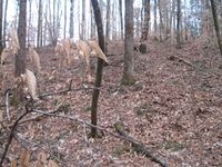
| + | Image:20100222_34_-84NW07.JPG| Looking south up the hill. | ||
| + | Image:20100222_34_-84NW08.JPG| Looking North back across the stream, standing on the Geohash spot. | ||
| + | Image:20100222_34_-84NW09.JPG| Me standing on the Geohash spot in dire need of a haircut. | ||
</gallery> | </gallery> | ||
Revision as of 13:17, 24 February 2010
| Mon 22 Feb 2010 in Roswell: 34.0462709, -84.4020917 geohashing.info google osm bing/os kml crox |
Graticule
About
In the woods of a house in Woodstock Georgia
People
Expeditions
Gallery
- Photo Gallery
Achievements
NWoodruff earned the Land geohash achievement
|
