Difference between revisions of "2010-08-05 46 7"
From Geohashing
imported>Crox (report!) |
imported>FippeBot m (Location) |
||
| Line 38: | Line 38: | ||
[[Category:Expeditions with photos]] | [[Category:Expeditions with photos]] | ||
[[Category:Coordinates reached]] | [[Category:Coordinates reached]] | ||
| + | {{location|CH|BE}} | ||
Latest revision as of 03:08, 9 August 2019
| Thu 5 Aug 2010 in 46,7: 46.9250295, 7.3018619 geohashing.info google osm bing/os kml crox |
Location
Near Mädersforst, Mühleberg, BE, Switzerland
Participants
Expedition
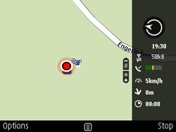
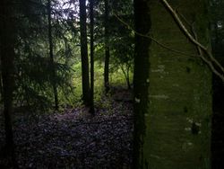
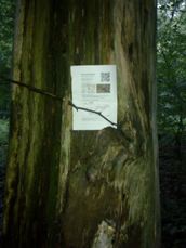
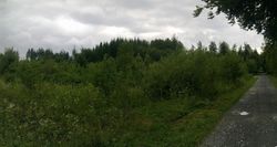
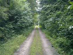
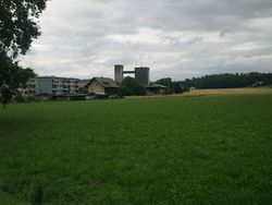
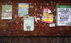
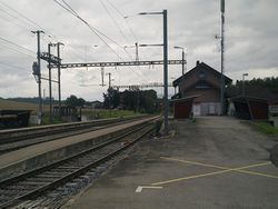
Took the train to Rosshäusern after work. I then proceeded to walk to the hash. From the aerial view I had hoped there would be a more direct way than the official roads (about 2.5 km) but the terrain did not allow it. As you can guess from the pictures it was raining for the first part of the expedition... The hash was reached around 19:30. I took some pictures, left a marker and took the train to get home. It was a good chance to get some fresh air and revive the graticule!
For this expedition I relied entirely on my phone - I did not have my Garmin GPS with me and I don't own a decent map of the area yet. Tomorrow I'm definitely going to place an order at Swisstopo...
Photos
|
