Difference between revisions of "2011-01-06 48 8"
imported>Ekorren (more gallery pictures) |
imported>FippeBot m (Location) |
||
| Line 52: | Line 52: | ||
[[Category:Expeditions with photos]] | [[Category:Expeditions with photos]] | ||
[[Category:Coordinates reached]] | [[Category:Coordinates reached]] | ||
| + | {{location|DE|BW|BL}} | ||
Latest revision as of 05:09, 9 August 2019
| Thu 6 Jan 2011 in 48,8: 48.3009364, 8.8760756 geohashing.info google osm bing/os kml crox |
Contents
Location
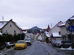
Within of Engstlatt, a village incorporated to Balingen
Participants
- Ekorren
- myka and Possibly Fergus
- Erin and Polyester Bear
Expedition
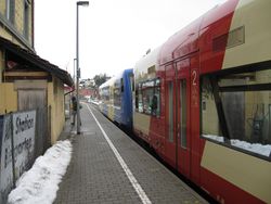
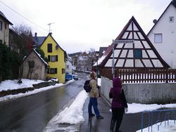
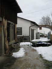
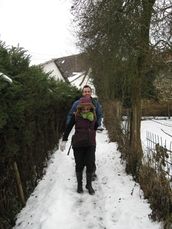
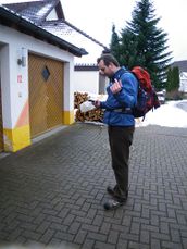
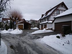
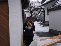
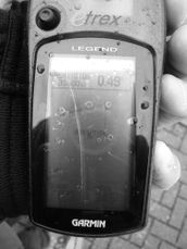
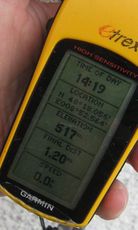
Summary: We met at Hechingen, went to Engstlatt by train, and walked over to the hash, which was somewhere around a house. The GPS dance made it difficult to decide about an exact location but we believe we were at least close enough.
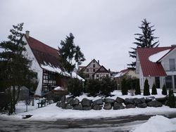
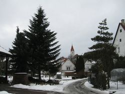
The hash itself was pretty basic. A train ride to Engstlatt, then a short wander to the point not to far from the station. While it was really nice to be out of cities and in a small town for once, it wasn't exactly an adventurous expedition.
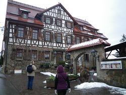
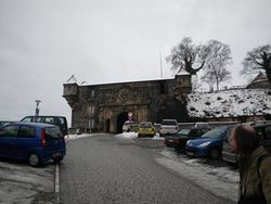
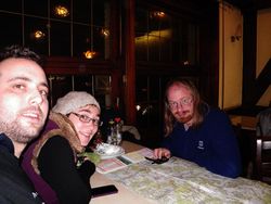
Myka and Erin did really enjoy heading to Tübingen afterwards and taking the guided tour provided by Ekorren. We enjoyed having a local show us around, and spending the time in a place we wouldn't have otherwise.
... may be more to come
Gallery
|
