Difference between revisions of "2011-08-05 53 -1"
imported>Monty (Report, without photos.) |
imported>Monty m (Whoops, bad cut'n'paste, wrong date. Corrected.) |
||
| Line 4: | Line 4: | ||
| lat=53 | | lat=53 | ||
| lon=-1 | | lon=-1 | ||
| − | | date=2011-08- | + | | date=2011-08-05}} |
| − | }} | ||
__NOTOC__ | __NOTOC__ | ||
Revision as of 09:21, 5 August 2011
| Fri 5 Aug 2011 in 53,-1: 53.8386176, -1.6208010 geohashing.info google osm bing/os kml crox |
Location
Low Lane, Horsforth, Leeds, UK
Participants
Plans
An early awakening meant Monty could get up to Leeds avoiding most of the morning rush-hour (though not necessarily the reverse).
Expedition
Up to Leeds, around the western reaches of the ringroad (following, for the most part, signs to Leeds-Bradford Airport), not a very challenging trip.
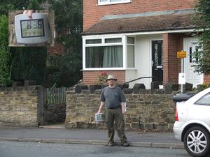
Found the spot easily, at the side of the road on a stretch designated "No stopping, except for buses" (which did not apparently apply to locals), and having forgotten again to bring the tripod, got the main photo of your truly at the geohash by balancing the camera on a wall at the opposite side of the road.
Coming back should have been easy, but decided to cut through the suburbs, and of course got hit by the local commuter traffic. Slightly shorter, but took longer.
Tracklog
No tracklog.
Photos
More photos (need better editing) when there's time to upload them.
Achievements
TBA, standard Land/No Batteries ones.
