Difference between revisions of "2011-08-28 55 -2"
From Geohashing
imported>Reinhard (create) |
imported>Reinhard (gallery) |
||
| Line 17: | Line 17: | ||
== Photos == | == Photos == | ||
{{gallery|width=200|height=200|lines=2 | {{gallery|width=200|height=200|lines=2 | ||
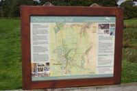
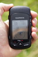
| − | |Image:20110828-55N2W-01.jpg|. | + | |Image:20110828-55N2W-01.jpg|Otterburn map. |
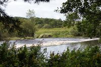
| + | |Image:20110828-55N2W-02.jpg|How to cross? | ||
| + | |Image:20110828-55N2W-03.jpg|Alternative way. | ||
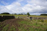
| + | |Image:20110828-55N2W-04.jpg|One of the countless gates. | ||
| + | |Image:20110828-55N2W-05.jpg|Coordinates reached. | ||
| + | |Image:20110828-55N2W-06.jpg|There we are. | ||
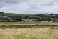
| + | |Image:20110828-55N2W-07.jpg|Hash view to Otterburn. | ||
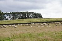
| + | |Image:20110828-55N2W-08.jpg|Hash sheep. | ||
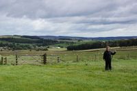
| + | |Image:20110828-55N2W-09.jpg|Hasher pointing at hash point. | ||
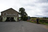
| + | |Image:20110828-55N2W-10.jpg|At the "pub". | ||
| + | |Image:20110828-55N2W-11.jpg|Pub with hasher pointing at hash point. | ||
}} | }} | ||
Revision as of 21:12, 28 August 2011
| Sun 28 Aug 2011 in 55,-2: 55.2265003, -2.1970353 geohashing.info google osm bing/os kml crox |
Location
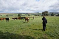
On a meadow near Otterburn in North England.
Participants
Expedition
Photos
|
