Difference between revisions of "2012-05-25 50 11"
From Geohashing
imported>Reinhard (→Expedition) |
imported>FippeBot m (Location) |
||
| Line 35: | Line 35: | ||
[[Category:Expeditions with photos]] | [[Category:Expeditions with photos]] | ||
[[Category:Coordinates reached]] | [[Category:Coordinates reached]] | ||
| + | {{location|DE|TH|EF}} | ||
Latest revision as of 04:12, 13 August 2019
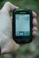
| Fri 25 May 2012 in 50,11: 50.9327014, 11.0929830 geohashing.info google osm bing/os kml crox |
Location
Close to a forest path in the Willroder Forst near Windischholzhausen/Erfurt
Participants
Plans
Manu and Reinhard might drop by there in the early evening.
Expedition
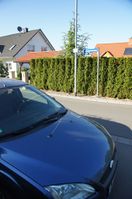
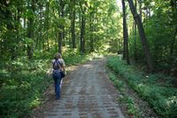
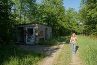
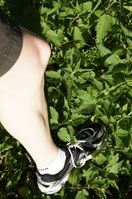
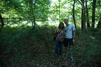
Manu and Reinhard were passing Erfurt on the A4 and as the hash wasn't a bigger detour, they left the Autobahn at Erfurt-Ost for geohashing and got back on it at Erfurt-West afterwards. Parked 500 m from the hash and walked along a forest path. Last 20 m contained some bushwhacking, walking through stinging nettles in shorts and picking up a tick immediately (and crushing it right after taking a photo of it). It was Sterni's 1st hash expedition.
Photos
|
