Difference between revisions of "2013-05-10 50 11"
imported>Jens (→Photos) |
imported>Jens (→Participants) |
||
| Line 10: | Line 10: | ||
== Participants == | == Participants == | ||
| − | * [[User:Jens|Jens]] | + | * [[User:Jens|Jens]] and Räbe |
== Expedition == | == Expedition == | ||
Revision as of 13:40, 10 May 2013
| Fri 10 May 2013 in 50,11: 50.8732713, 11.5275140 geohashing.info google osm bing/os kml crox |
Location
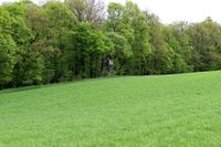
On a meadow between Bucha and Ossmaritz
Participants
- Jens and Räbe
Expedition
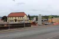
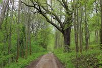
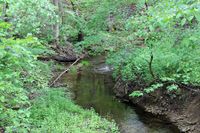
Today’s task was to build a bridge from Ascension Day to the weekend. And the point‘s coordinates had the perfect size to fit as stone in the bridge. So I started in south direction through the paradise, which was temporary renamed to “hell” by thousands of broken Ascension Day bottles. Leaving the hell behind me, I continued on the Maua commemoration route I had chosen. From Maua I followed the dirt road beside the creek Leutra to Bucha and this way perfidious stalked to the point from the back side.
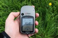
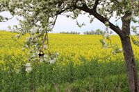
When I had a look to the point before on Google earth, I feared I could be on a field with young growing plants guarded by a farmer with one fork in the hand and another in the other. But no, it was a meadow, the young plants growing there were made of grass and no farmer was to be seen. So I entered the point, took the some photos and left the point via Bucha, Döbritschen, Großschwabhausen.
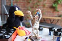
And now when the hard work of the day is done – writing down this report – the next two stones can be inserted into the bridge, named “eating some cake” and “continue painting the mummy” …
Photos
|
