Difference between revisions of "2013-07-28 50 10"
From Geohashing
imported>Reinhard (created) |
imported>Reinhard (report) |
||
| Line 13: | Line 13: | ||
== Expedition == | == Expedition == | ||
| + | Meaning just a two-hour round trip from Schleusingerneundorf, this hashpoint couldn't be skipped and was perfect for bridging the time between breakfast and lunch. Had a nice ride up and down the hills and to the hash wood, where I could do the usual geohash bushwhacking just to eventually find the hashpoint being located on what might have been a small forest trail in medieval times. Most surprising: I didn't find any ticks on my limbs after leaving the wood. | ||
== Photos == | == Photos == | ||
| − | {{gallery|width=200|height=200|lines= | + | {{gallery|width=200|height=200|lines=3 |
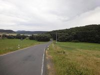
| − | |Image:20130728-50N10E-01.jpg|. | + | |Image:20130728-50N10E-01.jpg|Hash area. |
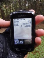
| − | |Image:20130728-50N10E-02.jpg|. | + | |Image:20130728-50N10E-02.jpg|No 0-m-distance hash dances today. |
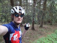
| − | |Image:20130728-50N10E-03.jpg|. | + | |Image:20130728-50N10E-03.jpg|At the hash. |
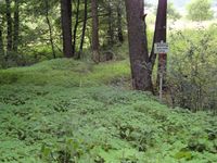
| − | |Image:20130728-50N10E-04.jpg|. | + | |Image:20130728-50N10E-04.jpg|Luckily, this sign prevented me from hitting the bars when rushing along this perfect path. |
}} | }} | ||
Revision as of 13:09, 28 July 2013
| Sun 28 Jul 2013 in 50,10: 50.3964593, 10.9850709 geohashing.info google osm bing/os kml crox |
Location
In woodland near Schalkau in the South of Thuringia.
Participants
Expedition
Meaning just a two-hour round trip from Schleusingerneundorf, this hashpoint couldn't be skipped and was perfect for bridging the time between breakfast and lunch. Had a nice ride up and down the hills and to the hash wood, where I could do the usual geohash bushwhacking just to eventually find the hashpoint being located on what might have been a small forest trail in medieval times. Most surprising: I didn't find any ticks on my limbs after leaving the wood.
Photos
|


