Difference between revisions of "2013-09-30 30 -81"
From Geohashing
imported>DrCanadianNinja (→Gallery) |
imported>FippeBot m (Location) |
||
| Line 38: | Line 38: | ||
[[Category:Coordinates reached]] | [[Category:Coordinates reached]] | ||
[[Category:Expeditions with photos]] | [[Category:Expeditions with photos]] | ||
| + | {{location|US|FL|DU}} | ||
Revision as of 04:10, 14 August 2019
| Have you seen our geohashing marker? We'd love to hear from you! Click here to say "hi" and tell us what you've seen!
Curious about what geohashing is? Read more! |
| Mon 30 Sep 2013 in Jacksonville, Florida: 30.2919608, -81.7504018 geohashing.info google osm bing/os kml crox |
Expedition
The Plan
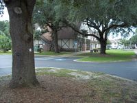
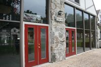
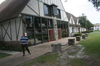
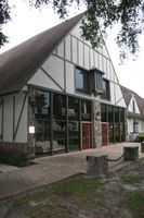
Just outside the information center for the Londontowne apartment complex. Swing by after work.
The Geohashers
The Adventure
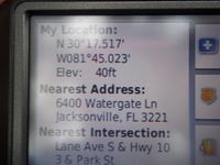
I was able to get away from work fairly early today, so we managed to leave before the rush hour traffic got too bad. Once we got there, we took our picture while some residents across the streets assumed we were either up to no good or high as hell. It was only when we were leaving that we noticed we may not be in a very reputable neighborhood, as a few of the buildings were empty, closed off and boarded.
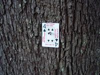
We impaled the Four of Clubs on a nail sticking out of a nearby tree by the information center. A short one, but it's good to reach one.
Gallery
Placeholder for when the pictures go up.
- Photo Gallery
