Difference between revisions of "2014-02-17 51 9"
From Geohashing
imported>GeorgDerReisende (new expedition) |
imported>GeorgDerReisende (new expedition to Melsungen) |
||
| Line 1: | Line 1: | ||
| − | |||
| − | |||
| − | |||
| − | |||
| − | |||
| − | |||
| − | |||
| − | |||
| − | |||
| − | |||
{{meetup graticule | {{meetup graticule | ||
| lat=51 | | lat=51 | ||
| Line 18: | Line 8: | ||
__NOTOC__ | __NOTOC__ | ||
== Location == | == Location == | ||
| − | + | ||
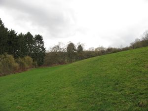
| + | The hash lies on a meadow at the western side of Melsungen. | ||
== Participants == | == Participants == | ||
| − | + | ||
| − | + | [[User:GeorgDerReisende|GeorgDerReisende]] | |
== Plans == | == Plans == | ||
| − | + | ||
| + | I wanted to go there by public transport, to do there some usual things, and then to hitchhike home. | ||
== Expedition == | == Expedition == | ||
| − | + | ||
| + | I went there by public transport, the tram 7, the regiotram 5 and the city bus of Melsungen nr 431. I started at home at 12:50 and arrived at the last bus stop at 14:18. From there I walked uphill to the hash. | ||
| + | |||
| + | {| | ||
| + | |- | ||
| + | ! style="width:300px" | !! style="width:300px" | !! style="width:300px" | | ||
| + | |- | ||
| + | | [[Image:2014-02-17 51 9 GeorgDerReisende 5844.jpg|300px]] || [[Image:2014-02-17 51 9 GeorgDerReisende 5851.jpg|300px]] || Arriving at Melsungen | ||
| + | |- | ||
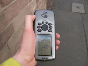
| + | | [[Image:2014-02-17 51 9 GeorgDerReisende 5852.jpg|300px]] || [[Image:2014-02-17 51 9 GeorgDerReisende 5877.jpg|300px]] || Modes of transport | ||
| + | |- | ||
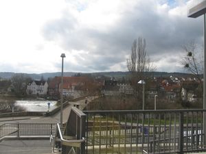
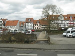
| + | | [[Image:2014-02-17 51 9 GeorgDerReisende 5847.jpg|300px]] || [[Image:2014-02-17 51 9 GeorgDerReisende 5873.jpg|300px]] || Views of Melsungen | ||
| + | |- | ||
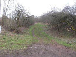
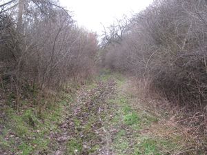
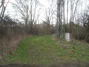
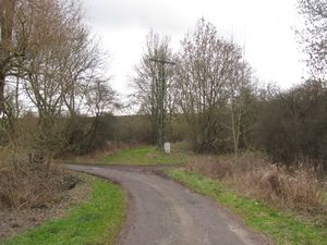
| + | | [[Image:2014-02-17 51 9 GeorgDerReisende 5884.jpg|300px]] || [[Image:2014-02-17 51 9 GeorgDerReisende 5886.jpg|300px]] || I found the fieldway of which I thought it would lead me to the hash and I followed it. But it became muddier and muddier, so I decided to go back and to attack the meadow directly. | ||
| + | |- | ||
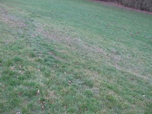
| + | | [[Image:2014-02-17 51 9 GeorgDerReisende 5885.jpg|300px]] || [[Image:2014-02-17 51 9 GeorgDerReisende 5888.jpg|300px]] || The meadow was not so muddy, but it was steep from the left to the right. | ||
| + | |- | ||
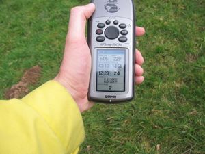
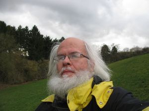
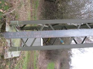
| + | | [[Image:2014-02-17 51 9 GeorgDerReisende 5897.jpg|300px]] || [[Image:2014-02-17 51 9 GeorgDerReisende 5934.jpg|300px]] || proof | ||
| + | |- | ||
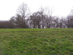
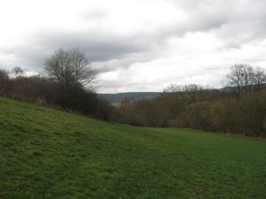
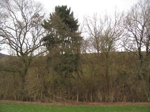
| + | | [[Image:2014-02-17 51 9 GeorgDerReisende 5898.jpg|300px]] view to the west || [[Image:2014-02-17 51 9 GeorgDerReisende 5900.jpg|300px]] view to the north || [[Image:2014-02-17 51 9 GeorgDerReisende 5899.jpg|300px]] view to the east | ||
| + | |- | ||
| + | | [[Image:2014-02-17 51 9 GeorgDerReisende 5901.jpg|300px]] || || view to the south | ||
| + | |- | ||
| + | | [[Image:2014-02-17 51 9 GeorgDerReisende 5902.jpg|300px]] || [[Image:2014-02-17 51 9 GeorgDerReisende 5904.jpg|300px]] || a geohasher and a marker | ||
| + | |- | ||
| + | | [[Image:2014-02-17 51 9 GeorgDerReisende 5906.jpg|300px]] || || The entrance situation of the meadow. The way I tried first is more to the right. | ||
| + | |- | ||
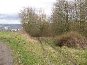
| + | | [[Image:2014-02-17 51 9 GeorgDerReisende 5913.jpg|300px]] || [[Image:2014-02-17 51 9 GeorgDerReisende 5914.jpg|300px]] || Then I walked around the field to see the situation from above. This is the upper end of the fieldway and a view to Melsungen. | ||
| + | |- | ||
| + | | [[Image:2014-02-17 51 9 GeorgDerReisende 5916.jpg|300px]] || [[Image:2014-02-17 51 9 GeorgDerReisende 5931.jpg|300px]] || The place at the national road near the hash was bad for hitchhiking. So I walked back to the city and found there a better place. | ||
| + | |} | ||
== Tracklog == | == Tracklog == | ||
<!-- if your GPS device keeps a log, you may post a link here --> | <!-- if your GPS device keeps a log, you may post a link here --> | ||
| − | |||
| − | |||
| − | |||
| − | |||
| − | |||
| − | |||
| − | |||
== Achievements == | == Achievements == | ||
| Line 44: | Line 59: | ||
<!-- Add any achievement ribbons you earned below, or remove this section --> | <!-- Add any achievement ribbons you earned below, or remove this section --> | ||
| + | {{Public transport geohash | latitude = 51 | longitude = 9 | date = 2014-02-17 | busline = tram 7, regiotram 5 & bus 431 | name = GeorgDerReisende }} | ||
| − | + | [[Category:Expeditions]] | |
| − | |||
| − | [[Category: | ||
| − | + | [[Category:Expeditions with photos]] | |
| − | |||
| − | [[Category: | ||
| − | |||
| − | |||
| − | |||
| − | |||
| − | |||
| − | |||
| − | |||
| − | |||
| − | |||
| − | |||
[[Category:Coordinates reached]] | [[Category:Coordinates reached]] | ||
| − | |||
| − | |||
| − | |||
| − | |||
| − | |||
| − | |||
| − | |||
| − | |||
| − | |||
| − | |||
| − | |||
| − | |||
| − | |||
| − | |||
| − | |||
| − | |||
| − | |||
| − | |||
Revision as of 17:17, 17 February 2014
| Mon 17 Feb 2014 in 51,9: 51.1287049, 9.5241884 geohashing.info google osm bing/os kml crox |
Location
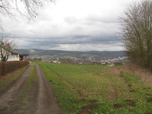
The hash lies on a meadow at the western side of Melsungen.
Participants
Plans
I wanted to go there by public transport, to do there some usual things, and then to hitchhike home.
Expedition
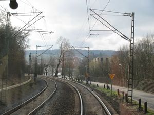
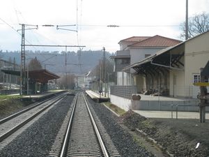
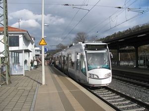
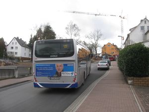
I went there by public transport, the tram 7, the regiotram 5 and the city bus of Melsungen nr 431. I started at home at 12:50 and arrived at the last bus stop at 14:18. From there I walked uphill to the hash.
Tracklog
Achievements
GeorgDerReisende earned the Public transport geohash achievement
|
