Difference between revisions of "2014-03-08 50 19"
From Geohashing
imported>Mkoniecz (rename) |
imported>FippeBot m (Location) |
||
| Line 39: | Line 39: | ||
[[Category:Coordinates reached]] | [[Category:Coordinates reached]] | ||
| + | {{location|PL|K|K}} | ||
Latest revision as of 05:48, 14 August 2019
| Sat 8 Mar 2014 in 50,19: 50.0468698, 19.8495280 geohashing.info google osm bing/os kml crox |

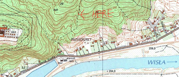
Detailed map of this area obtained from Geoportal.
Participants
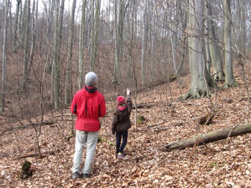
mkoniecz (talk) with his sister and father.
Expedition
The point was located in Wolski Forest. Wolski Forest is formally within borders of Kraków, but it is actually a real forest with hills, ravines and rocks. We had good orienteering maps 1: 10000 of this area and it was nice orienteering training to find the point. The point was in beech-oak forest nearby no-name ravine. When we located it, we could hear woodpecker, so the woodpecker was there before us :-) One of us met a wild boar in the forest during return, but the animal was frightened more and escaped very quickly.
Achievements
mkoniecz with family earned the Land geohash achievement
|
mkoniecz earned the Drag-along achievement
|
