Difference between revisions of "2014-05-11 51 9"
From Geohashing
imported>GeorgDerReisende (new expedition to Staufenberg-Lutterberg) |
imported>GeorgDerReisende m (typo) |
||
| Line 31: | Line 31: | ||
| [[Image:2014-05-11 51 9 GeorgDerReisende 0478.jpg|300px]] || || From there I walked to the service station Michendorf, there I had to wait for two hours and fifteen minutes. Then I got a lift to the service station Rohnetal, where I had to wait only some minutes, then I got a car to Lutterberg. | | [[Image:2014-05-11 51 9 GeorgDerReisende 0478.jpg|300px]] || || From there I walked to the service station Michendorf, there I had to wait for two hours and fifteen minutes. Then I got a lift to the service station Rohnetal, where I had to wait only some minutes, then I got a car to Lutterberg. | ||
|- | |- | ||
| − | | [[Image:2014-05-11 51 9 GeorgDerReisende 0483.jpg|300px]] || || The truck stop | + | | [[Image:2014-05-11 51 9 GeorgDerReisende 0483.jpg|300px]] || || The truck stop lay 400 meters west of the motorway, the hash lay 400 meters east of the motorway. |
|- | |- | ||
| [[Image:2014-05-11 51 9 GeorgDerReisende 0484.jpg|300px]] || [[Image:2014-05-11 51 9 GeorgDerReisende 0486.jpg|300px]] || At first the thicket looked unpassable. At the left it looked unpassable too, because there was a wet meadow behind two ditches. At the left there was a thicket more unpassable than at the direct way. | | [[Image:2014-05-11 51 9 GeorgDerReisende 0484.jpg|300px]] || [[Image:2014-05-11 51 9 GeorgDerReisende 0486.jpg|300px]] || At first the thicket looked unpassable. At the left it looked unpassable too, because there was a wet meadow behind two ditches. At the left there was a thicket more unpassable than at the direct way. | ||
Revision as of 19:28, 8 October 2014
| Sun 11 May 2014 in 51,9: 51.3660545, 9.6435646 geohashing.info google osm bing/os kml crox |
Location
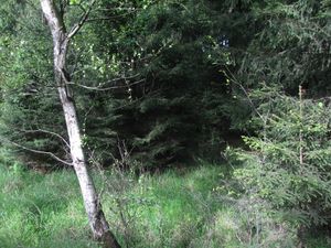
The hash lies in a forest near Staufenberg-Lutterberg.
Participants
Plans
On my way back home from Berlin I wanted to make a short detour to this hash.
Expedition
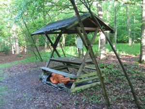 |
After visiting 2014-05-10 52 13 I went to Seddin, because I wanted to spend the night there in a shelter. Instead a shelter I found this thing, of course I could sleep beyond it and didn't get some of the heavy rain during the night. | |
 |
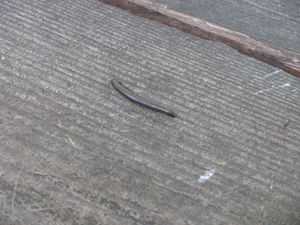 |
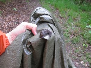
In the morning I met these two animals. |
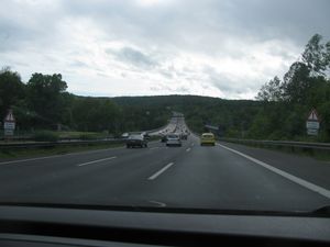 |
From there I walked to the service station Michendorf, there I had to wait for two hours and fifteen minutes. Then I got a lift to the service station Rohnetal, where I had to wait only some minutes, then I got a car to Lutterberg. | |
 |
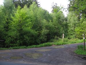
The truck stop lay 400 meters west of the motorway, the hash lay 400 meters east of the motorway. | |
 |
 |
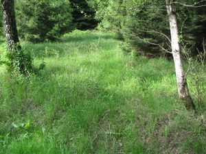
At first the thicket looked unpassable. At the left it looked unpassable too, because there was a wet meadow behind two ditches. At the left there was a thicket more unpassable than at the direct way. |
 |
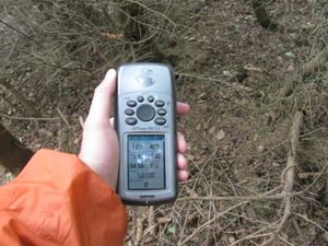 |
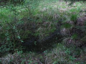
Walking into the thicket I found some meters left of the hash this water, but at the hash it was dry. |
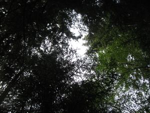 |
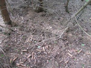 |
This is the hash. Look around: |
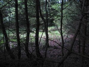 to the west to the west |
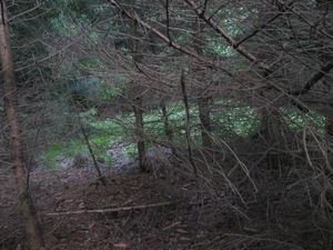 to the north to the north |
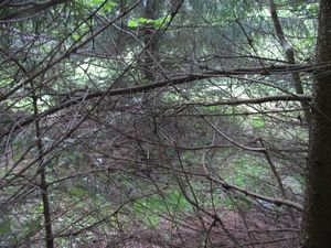 to the east to the east
|
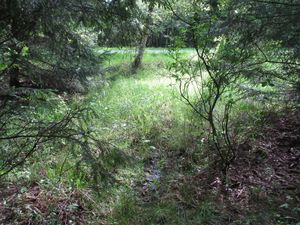 to the south to the main road to the south to the main road |
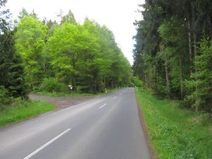 the main road to the forest the main road to the forest |
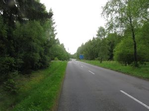 the main road to the motorway the main road to the motorway
|
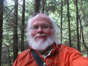 |
The geohasher of this site. | |
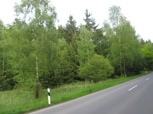 |
View to the hash from outside. |
Achievements
GeorgDerReisende earned the Thumbs Up Geohash Achievement
|