Difference between revisions of "2013-03-03 43 -78"
From Geohashing
imported>HicSuntLaganum (Created page with "{{meetup graticule | lat=43 | lon=-78 | date=2013-03-03 | graticule_name=Lockport | graticule_link=Lockport, New York }} == Location == Genesse Community College Nature Trail...") |
imported>FippeBot m (Location) |
||
| Line 34: | Line 34: | ||
[[Category:Expeditions with photos]] | [[Category:Expeditions with photos]] | ||
[[Category:Coordinates reached]] | [[Category:Coordinates reached]] | ||
| + | {{location|US|NY|GE}} | ||
Latest revision as of 01:14, 14 August 2019
| Sun 3 Mar 2013 in Lockport: 43.0160004, -78.1443803 geohashing.info google osm bing/os kml crox |
Location
Genesse Community College Nature Trail
Participants
Expedition
- Hic Sunt Laganum
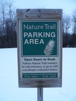
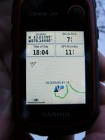
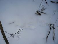
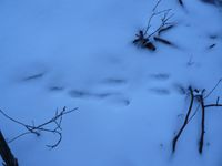
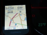
- The point was located a very short walk from the parking for the Nature Trail which was a pleasant surprise to find. As we had not brought a map of the trial we were under equipped to actually utilize this great resource. We snapped a photo for reference and proceeded onto our snowy hash point. There was little underbrush where the point was located denying any raptors a chance to attack. We snapped our photo and surmised that the raptors were likely outclassed by the woodland creatures leaving these tracks.
Photos
Achievements
HicSuntLaganum earned the Land geohash achievement
|
HicSuntLaganum earned the Frozen Geohash Achievement
|
