Difference between revisions of "2015-04-28 52 10"
From Geohashing
imported>GeorgDerReisende (expedition report for Schellerten) |
imported>FippeBot m (Location) |
||
| Line 65: | Line 65: | ||
[[Category:Coordinates reached]] | [[Category:Coordinates reached]] | ||
| + | {{location|DE|NI|HI}} | ||
Latest revision as of 03:28, 15 August 2019
| Tue 28 Apr 2015 in 52,10: 52.1171371, 10.1426646 geohashing.info google osm bing/os kml crox |
Location
The hash lies on the Großer Steinberg in the southern end of the municipality Schellerten.
Participants
Plans
Hitchhiking and walking as usual. I think I arrive there at about 2 o'clock, but I will not wait for other geohashers. Afterwards I want to visit the Astenbecker Turm.
Expedition
 |
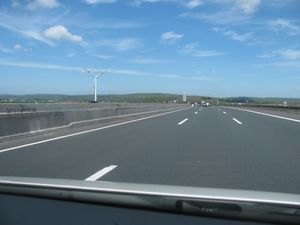 |
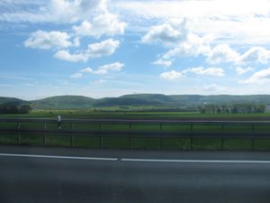
I left home at 10 o'clock and started to hitchhike at 11 o'clock. After 20 minutes a car stopped and this car delivered me at the western junction of Grasdorf at the B6. On the road I had a view to the site of the 2015-04-15 51 9's hash and later a first view to the today's hash forest. |
 |
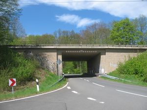 |
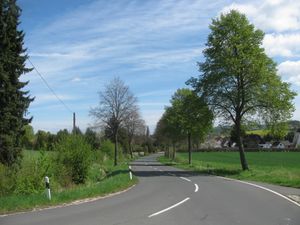
After arriving there I had a short view to Grasdorf and then there was another gate. |
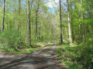 |
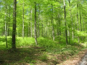 |
Then I entered the forest. And there I had a feeling of some shade of grey. I think this happened, because there were no other colors than light green leaves and grey stems of beeches. The blue sky was too small to change this. |
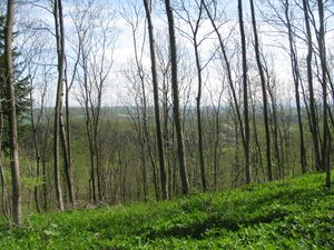 |
I passed the height of another hill and made a detour to it and found a view to a valley. | |
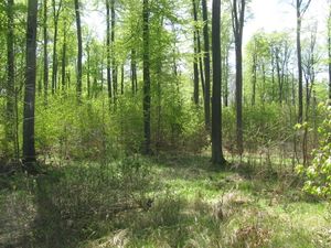 |
Some minutes later I was near the hash. 60 meters through the small trees. | |
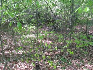 |
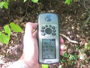 |
I reached the hash. I made a dance. I found it. I looked around. |
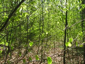 south south |
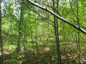 east east |
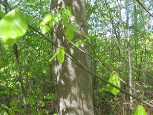 north north
|
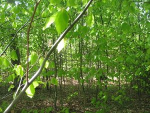 west west |
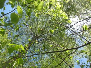 up up |
 and to the geohasher. and to the geohasher.
|
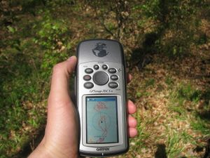 proof of dance proof of dance |
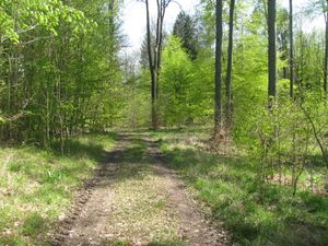 the forest way to the east the forest way to the east |
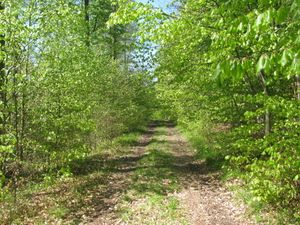 and to the west and to the west
|
 |
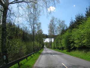 |
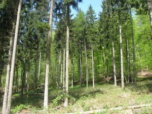
Again I had a feeling of grey. But with the contrast of the beeches in the background and the spruces in the foreground, the shade of grey was only in the background. Then I had to cross the motorway. |
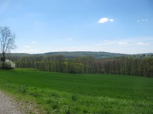
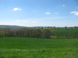
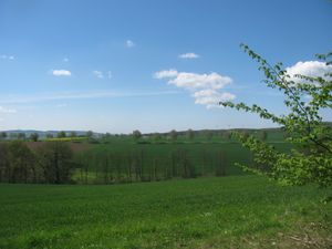
| Again I climbed a hill. At one place I had this wonderful view to the valley. The Hildesheimer Wald in the background. | ||
 |
 |
|
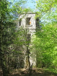 |
Then I walked to the Astenbecker Turm. The door was closed. | |
 |
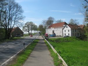 |
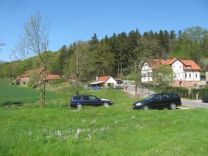
I walked to Astenbeck. This place is only a manor. I started to hitchhike at 15:30, got a lift to a place near the service station Hildesheimer Börde, walked to it, waited there for one hour, got a lift to Kassel, and arrived at home at 19:30. |
Achievements
GeorgDerReisende earned the Thumbs Up Geohash Achievement
|