Difference between revisions of "File:2015-10-31 47 09 14.jpg"
From Geohashing
imported>Lysogeny (This is the road with the hash. The house with the umbrella apple stand is visible in google maps satellite imagery (the umbrella is even pictured), the hash is to the north of the house after that, which is the house right in the center of this image....) |
(Maintenance script uploaded File:2015-10-31 47 09 14.jpg) |
(No difference)
| |
Latest revision as of 14:32, 30 January 2020
This is the road with the hash. The house with the umbrella apple stand is visible in google maps satellite imagery (the umbrella is even pictured), the hash is to the north of the house after that, which is the house right in the center of this image.
File history
Click on a date/time to view the file as it appeared at that time.
| Date/Time | Thumbnail | Dimensions | User | Comment | |
|---|---|---|---|---|---|
| current | 14:32, 30 January 2020 | 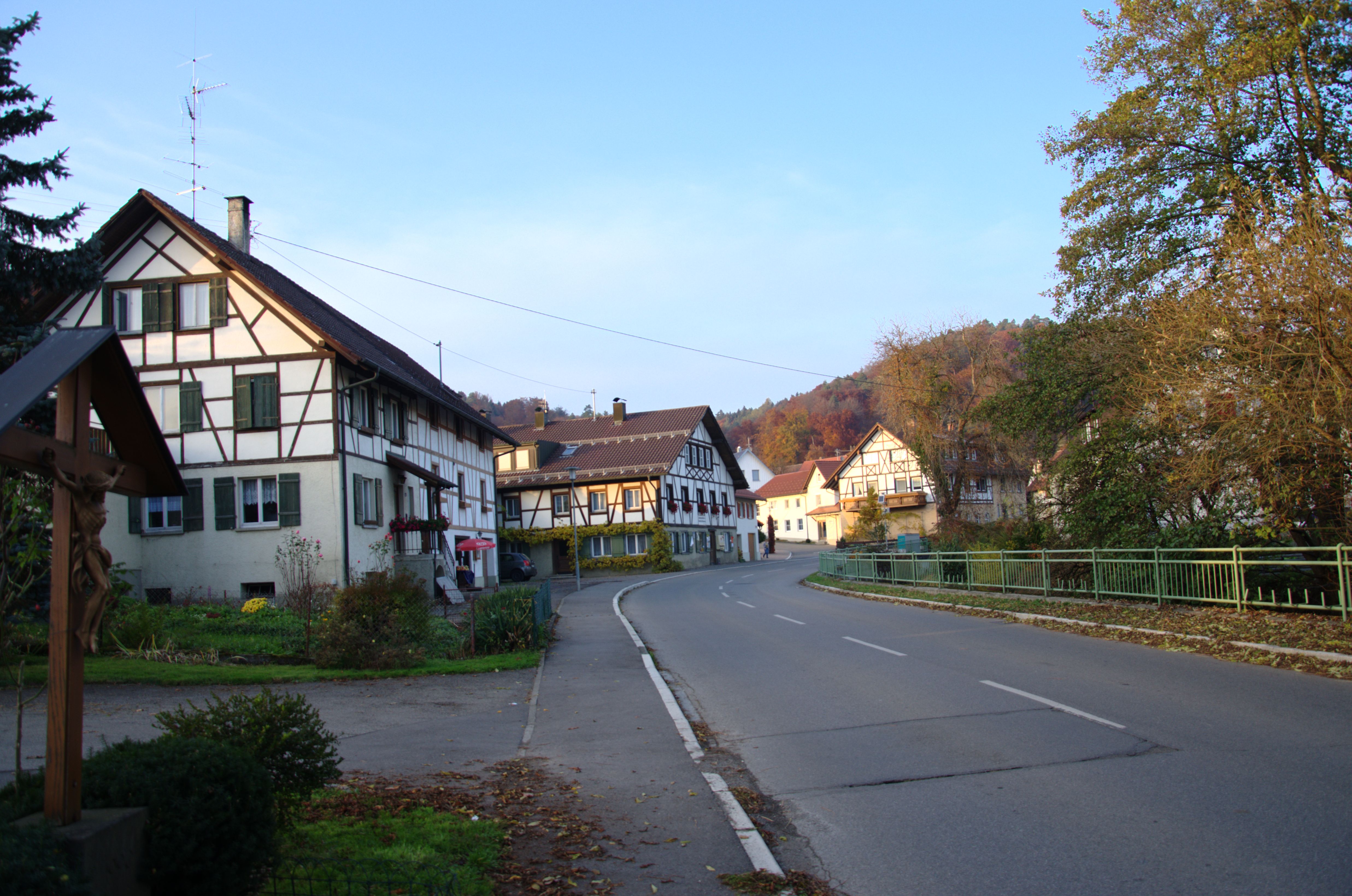 | 4,948 × 3,280 (1.66 MB) | Maintenance script (talk | contribs) |
- You cannot overwrite this file.
File usage
The following page links to this file: