Difference between revisions of "2017-05-10 50 11"
From Geohashing
imported>Reinhard (report page) |
imported>Reinhard (→Photos) |
||
| Line 20: | Line 20: | ||
== Photos == | == Photos == | ||
| − | {{gallery|width=200|height=200|lines= | + | {{gallery|width=200|height=200|lines=2 |
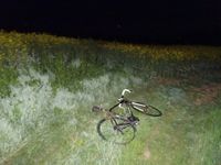
| − | |Image:20170510-50N11E-01.jpg| | + | |Image:20170510-50N11E-01.jpg|Walk from here. |
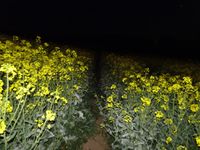
| + | |Image:20170510-50N11E-02.jpg|Useful tractor track. | ||
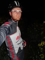
| + | |Image:20170510-50N11E-03.jpg|Close to the hash. | ||
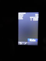
| + | |Image:20170510-50N11E-04.jpg|Blurry proof showing 2.0 m distance. | ||
}} | }} | ||
Revision as of 08:30, 11 May 2017
| Wed 10 May 2017 in 50,11: 50.8156049, 11.5644912 geohashing.info google osm bing/os kml crox |
Location
On a canola field near Kahla and the village of Zwabitz, Thuringia, Germany.
Participants
Expedition
tbd
Tracklog
Photos
|


