Difference between revisions of "2017-09-23 50 11"
From Geohashing
imported>Reinhard (report) |
imported>FippeBot m (Location) |
||
| Line 31: | Line 31: | ||
[[Category:Expeditions with photos]] | [[Category:Expeditions with photos]] | ||
[[Category:Coordinates reached]] | [[Category:Coordinates reached]] | ||
| + | {{location|DE|TH|IK}} | ||
Latest revision as of 02:59, 16 August 2019
| Sat 23 Sep 2017 in 50,11: 50.5678897, 11.0021897 geohashing.info google osm bing/os kml crox |
Location
In the Thuringian forest near Großbreitenbach, Germany.
Participants
Expedition
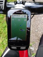
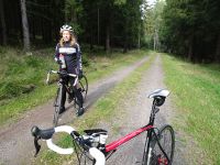
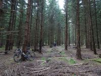
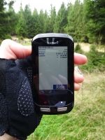
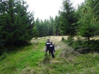
Perfect distance (57 km roundtrip) for Manu's and Reinhard's afternoon ride from Schleusingerneundorf. From Großbreitenbach they followed a gravel forest track for 1.3 km and walked 150 m into the wood to reach the point without any problem.
Tracklog
Photos
|
